
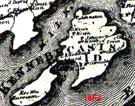
Image: Kennebecasis Map 1862
No higher resolution available.
Kennebecasis_Map_1862.gif (440 × 348 pixels, file size: 81 KB, MIME type: image/gif)
Description: A map of Kennebecasis Island in 1862. Many of the family names on the map are still common today on the island.
Title: Kennebecasis Map 1862
Credit: Family Heirloom
Author: Joe Harley
Usage Terms: Public domain
License: Public domain
Attribution Required?: No
Image usage
The following page links to this image:

All content from Kiddle encyclopedia articles (including the article images and facts) can be freely used under Attribution-ShareAlike license, unless stated otherwise.