
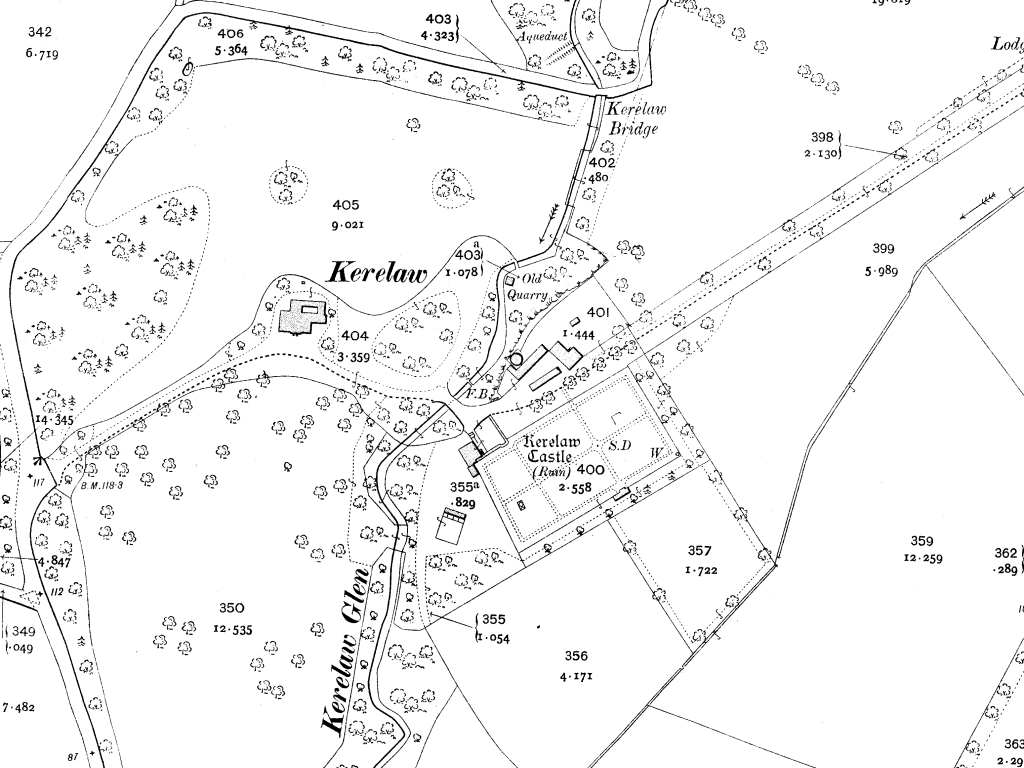
Image: Kerelaw Map 1910
Size of this preview: 800 × 600 pixels. Other resolutions: 320 × 240 pixels | 1,024 × 768 pixels.
Original image (1,024 × 768 pixels, file size: 133 KB, MIME type: image/png)
Description: OS map of the Kerelaw Estate in Stevenston, dated 1910.
Title: Kerelaw Map 1910
Credit: Scanned direct from original OS Map by Dreamer84. Map originally 1:2500 scale.
Author: Ordnance Survey
Usage Terms: Public domain
License: Public domain
Attribution Required?: No
Image usage
The following page links to this image:

All content from Kiddle encyclopedia articles (including the article images and facts) can be freely used under Attribution-ShareAlike license, unless stated otherwise.