
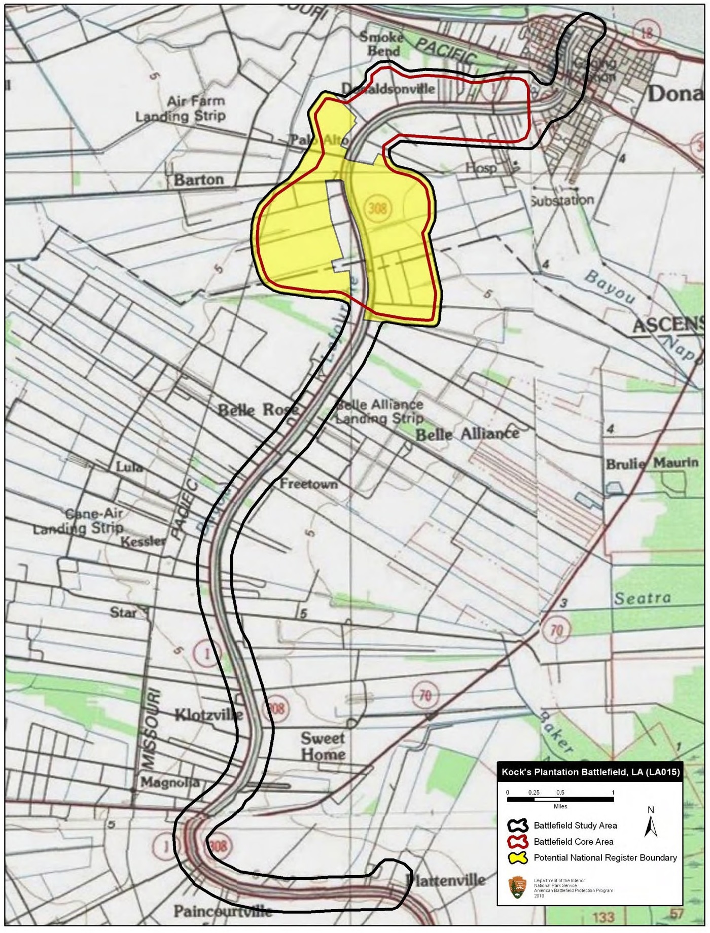
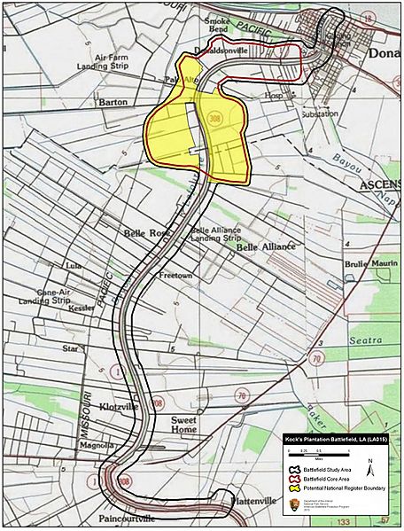
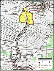
Image: Kock's Plantation Battlefield Louisiana
Size of this preview: 456 × 599 pixels. Other resolutions: 182 × 240 pixels | 1,400 × 1,840 pixels.
Original image (1,400 × 1,840 pixels, file size: 758 KB, MIME type: image/jpeg)
Description: Map of battlefield core and study areas. The revised Study Area includes the route taken by Confederate forces from Plattenville in their effort to intercept BG Weitzel’s command. The Core Area was expanded to represent the running fight between Federals and Confederates back into Donaldsonville.
Title: Kock's Plantation Battlefield Louisiana
Credit: National Park Service
Author: American Battlefield Protection Program
Usage Terms: Public domain
License: Public domain
Attribution Required?: No
Image usage
The following page links to this image:

All content from Kiddle encyclopedia articles (including the article images and facts) can be freely used under Attribution-ShareAlike license, unless stated otherwise.