
Image: La2-demis-denmark
No higher resolution available.
La2-demis-denmark.png (507 × 600 pixels, file size: 230 KB, MIME type: image/png)
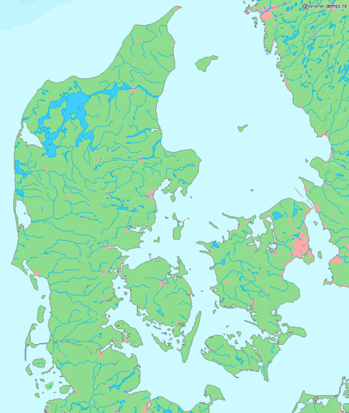
Description: Map of Denmark. Bounding box West 7.9°, South 54.3°, East 13.2°, North 57.8°. Center at 56°03′00″N 10°33′00″E / 56.05000°N 10.55000°E / 56.05000; 10.55000.
Title: La2-demis-denmark
Credit: Demis map server
Author: Demis map server
Usage Terms: Public domain
License: Public domain
Attribution Required?: No
Image usage
There are no pages that link to this image.

All content from Kiddle encyclopedia articles (including the article images and facts) can be freely used under Attribution-ShareAlike license, unless stated otherwise.