
Image: Lake Creek Settlement Mapf
Size of this JPG preview of this TIF file: 774 × 600 pixels. Other resolution: 310 × 240 pixels.
Original image (808 × 626 pixels, file size: 80 KB, MIME type: image/tiff)
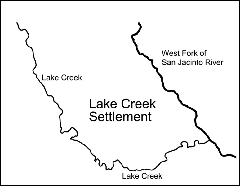
Description: Map of the Lake Creek Settlement (1830's -1840's) showing location between the West Fork of the San Jacinto River and the stream known as Lake Creek. The Lake Creek Settlement was a settlement of Anglo-Americans in Austin's Second Colony in Mexican Texas before the Texas Revolution (1835-1836). Following the Revolution, the Lake Creek Settlement was located in the Republic of Texas.
Title: Lake Creek Settlement Map
Credit: Own work
Author: Ringtailedpanther
Usage Terms: Creative Commons Attribution-Share Alike 4.0
License: CC BY-SA 4.0
License Link: https://creativecommons.org/licenses/by-sa/4.0
Attribution Required?: Yes
Image usage
The following page links to this image:

All content from Kiddle encyclopedia articles (including the article images and facts) can be freely used under Attribution-ShareAlike license, unless stated otherwise.