
Image: LastIsland1853
No higher resolution available.
LastIsland1853.jpg (459 × 212 pixels, file size: 76 KB, MIME type: image/jpeg)
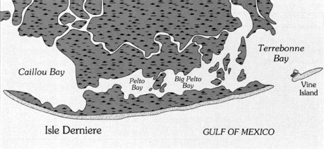
Description: Map of Last Island, Louisiana a.k.a Isle Dernier as it appeared in 1853
Title: LastIsland1853
Credit: http://216.35.221.84/templates/story/story.php?storyId=104723428
Author: Williams et al. under contract of U.S. Geological Survey
Permission: Work is in the public domain because it was first published in 1853 and was made under contract by a private firm that was paid by the U.S. Geological Survey, a U.S. Government entity, to create the work for use by this government agency.
Usage Terms: Public domain
License: Public domain
Attribution Required?: No
Image usage
The following page links to this image:

All content from Kiddle encyclopedia articles (including the article images and facts) can be freely used under Attribution-ShareAlike license, unless stated otherwise.