
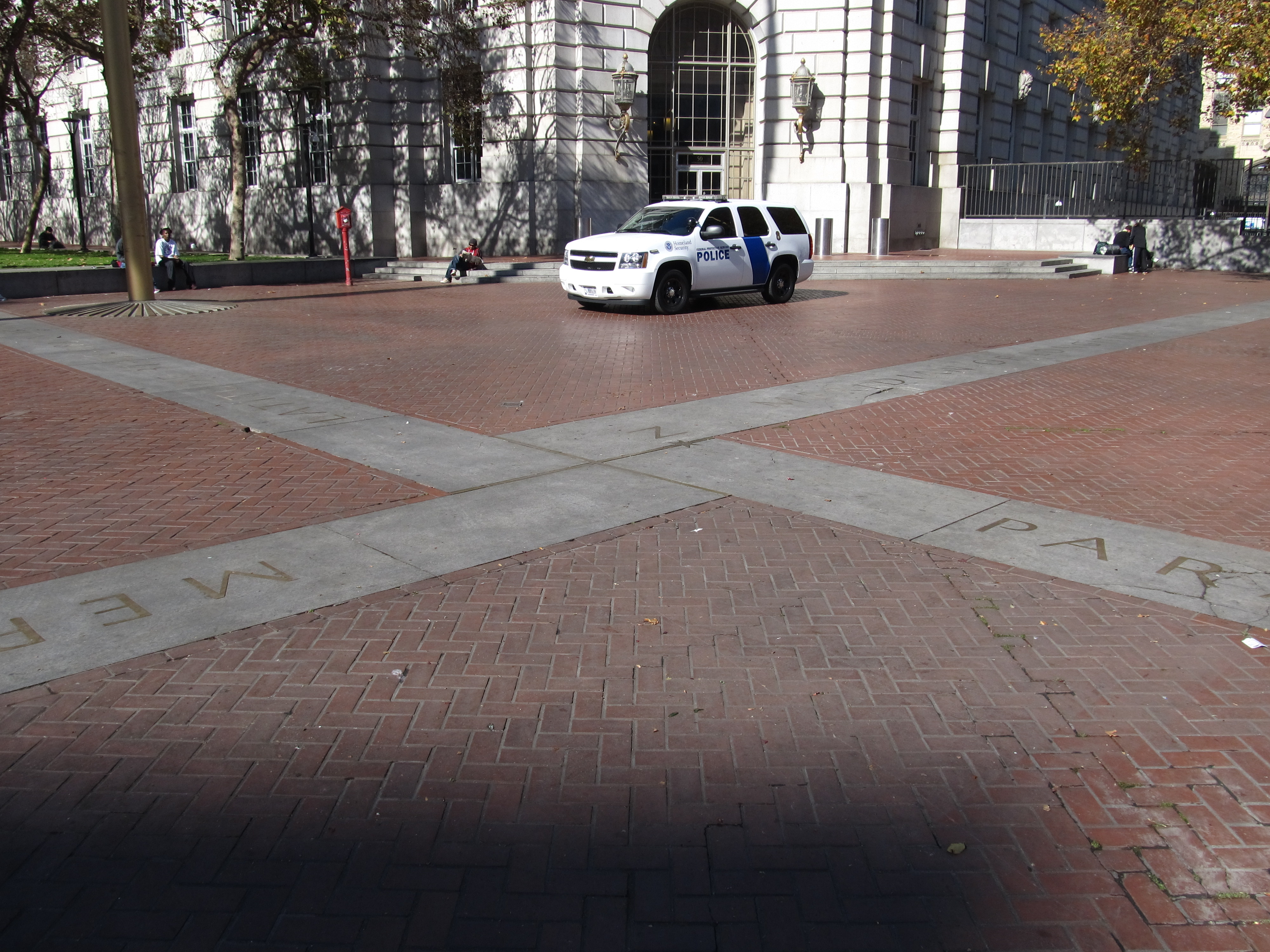
Image: Latitude and Longitude Markers, United Nations Plaza, San Francisco, California (10753745965)
Description: The Civic Center in San Francisco, California, is an area of a few blocks north of the intersection of Market Street and Van Ness Avenue that contains many of the city's largest government and cultural institutions. It has two large plazas (Civic Center Plaza and United Nations Plaza) and a number of buildings in classical architectural style. The Bill Graham Civic Auditorium (formerly the Exposition Auditorium) is one of the few remaining buildings from the 1915 Panama-Pacific International Exposition. The United Nations Charter was signed in the War Memorial Veterans Building's Herbst Theatre in 1945, leading to the creation of the United Nations. It is also where the 1951 Treaty of San Francisco (the peace treaty that officially ended the Pacific War with the Empire of Japan, which had surrendered in 1945) was signed. The San Francisco Civic Center was designated a National Historic Landmark in 1987, and listed in the National Register of Historic Places on October 10, 1978. The Civic Center is bounded by Market Street on the south, Franklin Street on the west, Turk Street on the north, and Leavenworth and Seventh streets on the east. The Civic Center is bounded by the Tenderloin neighborhood on the north and east and by the Hayes Valley neighborhood on the west; Market Street separates it from the South of Market or "SoMa" neighborhood. Its central location, vast open space, and the collection of government buildings have made and continue to make Civic Center the scene of massive political rallies. It has been the scene of massive anti-war protests and rallies since the Korean War. A monument to James Lick and the Manifest Destiny is located in the middle of Fulton Street between the Library and the Asian Art Museum. The section of Fulton Street between Hyde and Leavenworth streets was pedestrianized and re-developed into a monument for the United Nations and the signing of the UN Charter in 1975, when the Bay Area Rapid Transit subway was constructed under Market Street. The 2.6-acre (11,000 m2) pedestrian mall was designed by Lawrence Halprin. It was rededicated in June 1995 by visiting members of the UN General Assembly as part of its 60th anniversary, and renovated and rededicated again in 2005 during the World Environment Day event. Currently, it is the site of a small farmers' market as well as a large equestrian statue of Simon Bolivar. Because the Civic Center is located near the skid row Tenderloin neighborhood, it has a seedy, run-down, high-crime reputation and appearance with large amounts of homeless encampments, which have prevented it from attracting the large amounts of tourists seen in other areas of the city. Despite repeated redevelopment of Civic Center over the years aimed primarily at discouraging the homeless from camping there, large numbers of homeless continue to camp and loiter in the area. <a href="http://en.wikipedia.org/wiki/Civic_Center,_San_Francisco" rel="noreferrer nofollow">en.wikipedia.org/wiki/Civic_Center,_San_Francisco</a> <a href="http://en.wikipedia.org/wiki/Wikipedia:Text_of_Creative_Commons_Attribution-ShareAlike_3.0_Unported_License" rel="noreferrer nofollow">en.wikipedia.org/wiki/Wikipedia:Text_of_Creative_Commons_...</a>
Title: Latitude and Longitude Markers, United Nations Plaza, San Francisco, California (10753745965)
Credit: Latitude and Longitude Markers, United Nations Plaza, San Francisco, California
Author: Ken Lund from Reno, Nevada, USA
Usage Terms: Creative Commons Attribution-Share Alike 2.0
License: CC BY-SA 2.0
License Link: https://creativecommons.org/licenses/by-sa/2.0
Attribution Required?: Yes
Image usage
The following page links to this image:

.jpg)