
Image: Lesbos topo
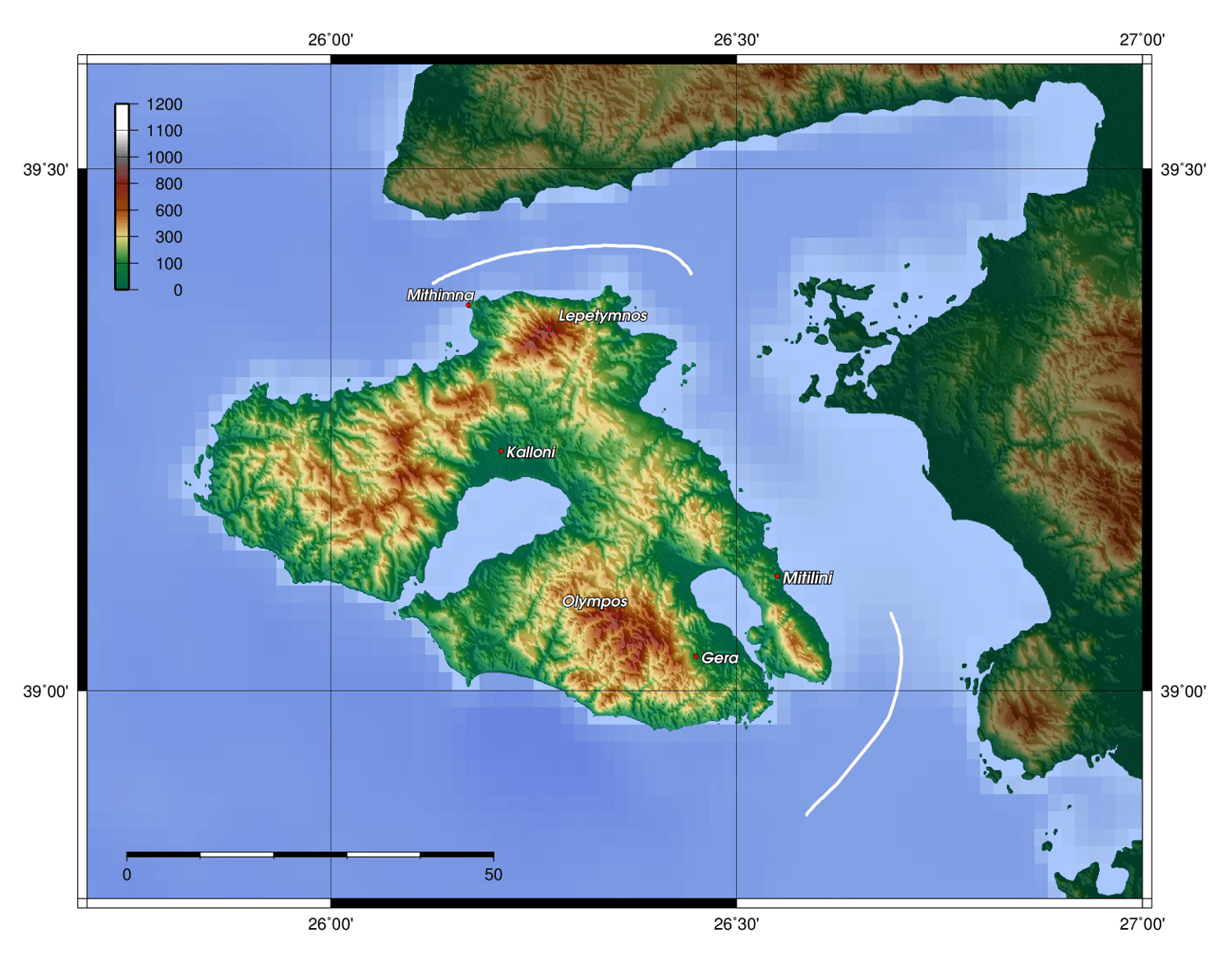
Description: Description: Topography of Lesbos, created with GMT 4.1.3
Title: Lesbos topo
Credit: Source: At least one of the following Public Domain data sources ETOPO1 (Resolution 1° = 1,8km) GLOBE (Resolution 30' = 0,9km) SRTM (Resolution 3' = 90m)
Author: Zamonin
Permission: The map has been created with the Generic Mapping Tools: http://gmt.soest.hawaii.edu/ using one or more of these public-domain datasets for the relief: ETOPO2 (topography/bathymetry): http://www.ngdc.noaa.gov/mgg/global/global.html GLOBE (topography): http://www.ngdc.noaa.gov/mgg/topo/gltiles.html SRTM (topography): http://www2.jpl.nasa.gov/srtm/ বাংলা | English | Français | Italiano | 日本語 | Македонски | +/− Permission is granted to copy, distribute and/or modify this document under the terms of the GNU Free Documentation License, Version 1.2 or any later version published by the Free Software Foundation; with no Invariant Sections, no Front-Cover Texts, and no Back-Cover Texts. A copy of the license is included in the section entitled GNU Free Documentation License.http://www.gnu.org/copyleft/fdl.htmlGFDLGNU Free Documentation Licensetruetrue If this file is eligible for relicensing, it may also be used under the Creative Commons Attribution-ShareAlike 3.0 license. The relicensing status of this image needs to be manually reviewed by an experienced user. You can help. Беларуская (тарашкевіца) | English | Magyar | Italiano | Македонски | മലയാളം | Українська | +/−
Usage Terms: GNU Free Documentation License
License: GFDL
License Link: http://www.gnu.org/copyleft/fdl.html
Attribution Required?: Yes
Image usage
The following page links to this image:
