
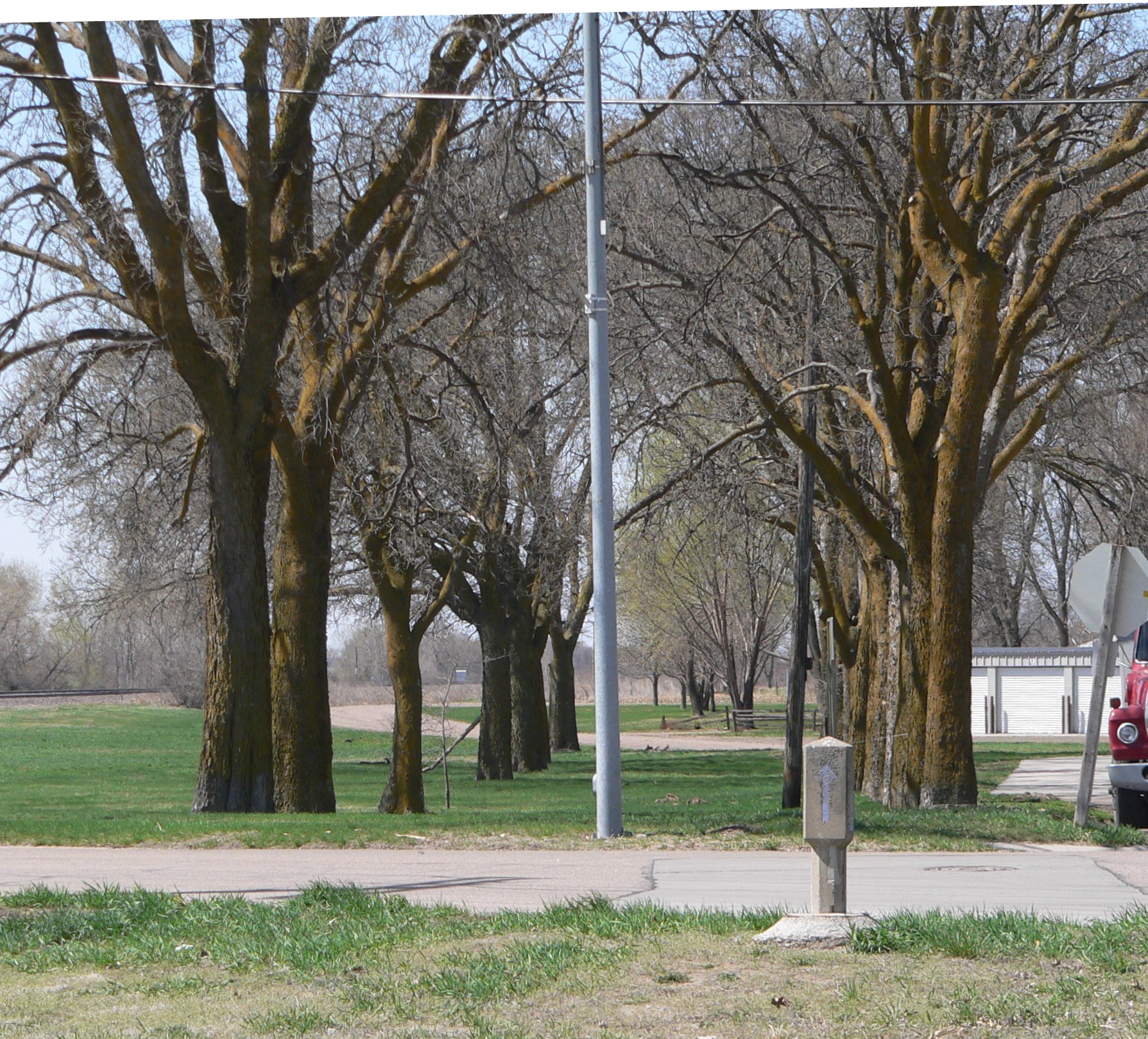
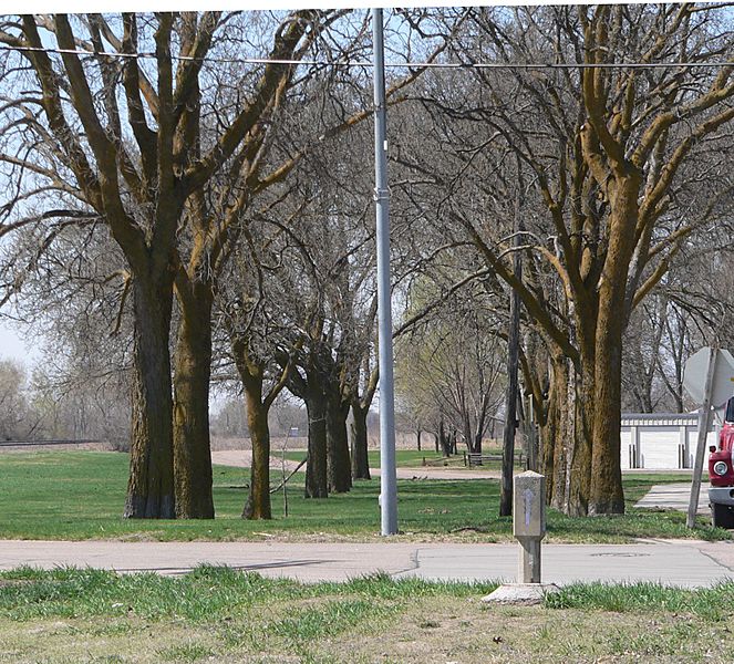
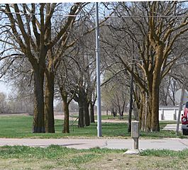
Image: Lincoln Highway, Duncan, Nebraska from NE 2
Size of this preview: 663 × 600 pixels. Other resolutions: 265 × 240 pixels | 1,789 × 1,619 pixels.
Original image (1,789 × 1,619 pixels, file size: 1.04 MB, MIME type: image/jpeg)
Description: Lincoln Highway section in Duncan, Nebraska; seen from the northeast. The blue arrow on the concrete marker in the right foreground points southwestward. The highway passed through the avenue of hackberry trees beyond the marker. The marker and the trees are part of the Lincoln Highway-Duncan West property, which is listed in the National Register of Historic Places.
Title: Lincoln Highway, Duncan, Nebraska from NE 2
Credit: Own work
Author: Ammodramus
Usage Terms: Public domain
License: Public domain
Attribution Required?: No
Image usage
The following page links to this image:

All content from Kiddle encyclopedia articles (including the article images and facts) can be freely used under Attribution-ShareAlike license, unless stated otherwise.