
Image: Lincolnville birds-eye view
Size of this preview: 800 × 570 pixels. Other resolutions: 320 × 228 pixels | 2,000 × 1,424 pixels.
Original image (2,000 × 1,424 pixels, file size: 4.07 MB, MIME type: image/jpeg)
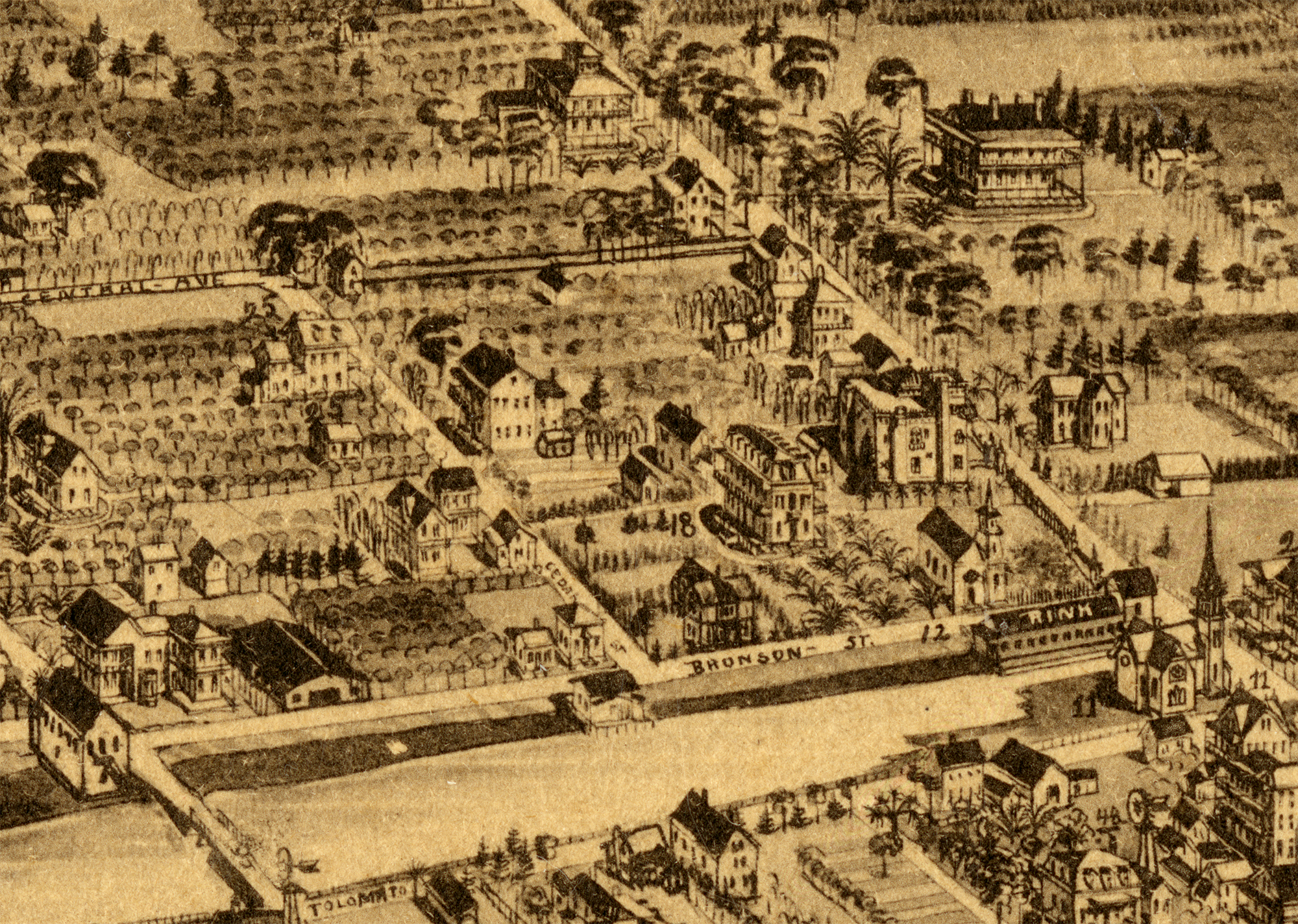
Description: A stylized map depicting the lots in the Lincolnville neighborhood (1885). Excerpt from 1885 birdseye view of St. Augustine, Florida Map Collection, State Library of Florida. When Abraham Lincoln issued the Emancipation Proclamation in 1863, an estimated 672 slaves living in St. Augustine became freedmen at once, and the parcel became known as “liberation lot.” These liberated men and women would become the founders of Lincolnville.
Title: Lincolnville birds-eye view
Credit: Florida Memoryː State Library and Archives of Florida https://www.floridamemory.com/items/show/322317
Author: Unknown
Usage Terms: Public domain
License: Public domain
Attribution Required?: No
Image usage
The following page links to this image:

All content from Kiddle encyclopedia articles (including the article images and facts) can be freely used under Attribution-ShareAlike license, unless stated otherwise.