
Image: Linea imperiale map
Size of this preview: 483 × 599 pixels. Other resolutions: 193 × 240 pixels | 681 × 845 pixels.
Original image (681 × 845 pixels, file size: 315 KB, MIME type: image/png)
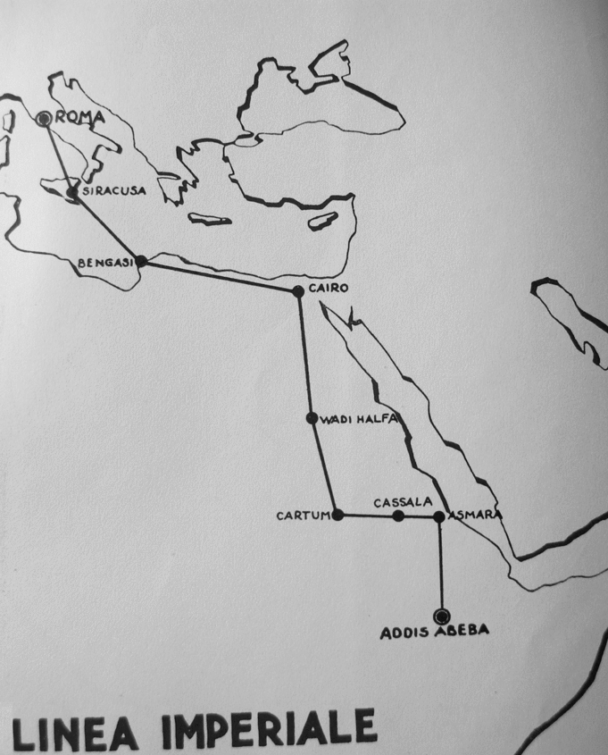
Description: The Imperial Line from Rome to Addis Abeba, from a 1937 promotional map by Ala Littoria
Title: Linea imperiale map
Credit: This is from a route map published at Rome by Ala Littoria S.A. in 1937. Taken from: Caprotti, Federico. "Visuality, Hybridity, and Colonialism: Imagining Ethiopia through Colonial Aviation, 1935–1940." Annals of the Association of American Geographers 101.2 (2011): 380–403, at 390.
Author: Ala Littoria S.A.
Usage Terms: Public domain
License: PD
Attribution Required?: No
Image usage
The following 2 pages link to this image:

All content from Kiddle encyclopedia articles (including the article images and facts) can be freely used under Attribution-ShareAlike license, unless stated otherwise.