
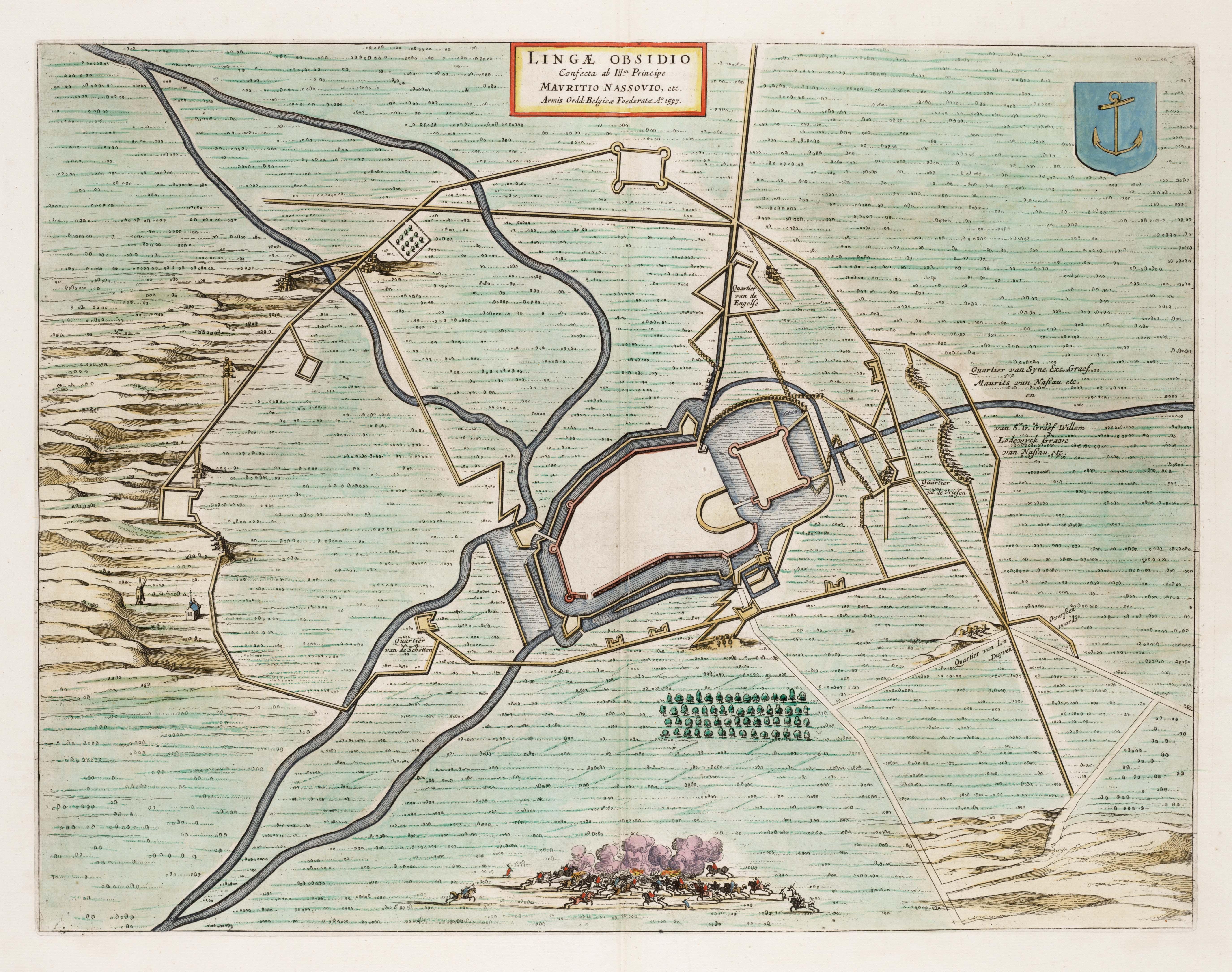
Image: Lingae Obsidio - Siege of Lingen in 1597 by Maurice of Orange
Size of this preview: 760 × 599 pixels. Other resolutions: 304 × 240 pixels | 5,500 × 4,338 pixels.
Original image (5,500 × 4,338 pixels, file size: 3.02 MB, MIME type: image/jpeg)
Description: This maps depicts siege of the German town Lingen by a Dutch army led by Prince Maurits. The fortress is surrounded by army troops and siege machines. The map was included in the first volume of Joan Blaeu's (1698-1673) Town Books of the Netherlands which was dedicated to the Northern Netherlands.
Title: Lingae Obsidio - Siege of Lingen in 1597 by Maurice of Orange
Credit: Atlas van Loon
Author: Joan Blaeu
Permission: Public Domain
Usage Terms: Public domain
License: Public domain
Attribution Required?: No
Image usage
The following page links to this image:

All content from Kiddle encyclopedia articles (including the article images and facts) can be freely used under Attribution-ShareAlike license, unless stated otherwise.