
Image: Lobatus gigas map
No higher resolution available.
Lobatus_gigas_map.png (708 × 561 pixels, file size: 414 KB, MIME type: image/png)
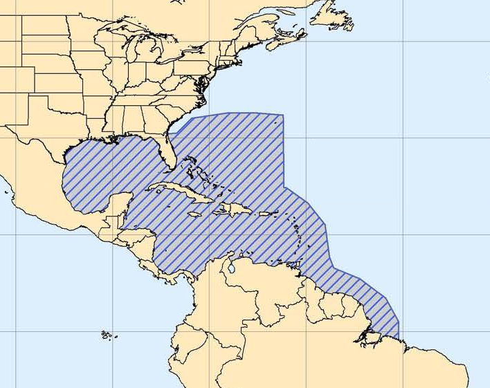
Description: Map of distribution of Lobatus gigas. Map represents approximate range of specis. Offshore distances are approximate.
Title: Lobatus gigas map
Credit: cropped from Queen Conch Range
Author: Office of Protected Resources of U.S. National Marine Fisheries Service (NMFS) (which is the division of NOAA)
Usage Terms: Public domain
License: Public domain
Attribution Required?: No
Image usage
The following image is a duplicate of this image (more details):
There are no pages that link to this image.

All content from Kiddle encyclopedia articles (including the article images and facts) can be freely used under Attribution-ShareAlike license, unless stated otherwise.