
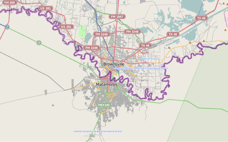
Image: Location mapMatamoros-Brownsville
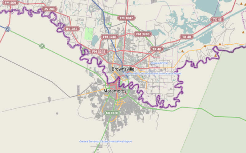
Size of this preview: 800 × 497 pixels. Other resolutions: 320 × 199 pixels | 900 × 559 pixels.
Original image (900 × 559 pixels, file size: 132 KB, MIME type: image/png)
Description: Map of Matamoros–Brownsvillle (primary urban area).
Title: Location mapMatamoros-Brownsville
Credit: http://www.openstreetmap.org/
Author: OpenStreetMap contributors
Usage Terms: Creative Commons Attribution 2.0
License: CC BY 2.0
License Link: https://creativecommons.org/licenses/by/2.0
Attribution Required?: Yes
Image usage
The following page links to this image:

All content from Kiddle encyclopedia articles (including the article images and facts) can be freely used under Attribution-ShareAlike license, unless stated otherwise.