
Image: Location map Australia Sydney 2
Size of this PNG preview of this SVG file: 393 × 320 pixels. Other resolution: 295 × 240 pixels.
Original image (SVG file, nominally 393 × 320 pixels, file size: 3.99 MB)
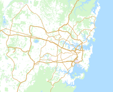
Description: A location map of the region with latitudes between −34.115° and −33.581°, and longitudes between 150.639° and 151.429°. Equirectangular projection, scale 1 : 658 000. The data for this map come from the Australian Bureau of Statistics, the Mosman Council, and the OpenStreetMap contributors and the dmgroom, and are made available by OpenStreetMap under the Open Database License. It was accessed on 2025 Dec 29. The map itself was generated by a Python script written by Justin Kunimune.
Usage Terms: Public domain
Image usage
The following page links to this image:

All content from Kiddle encyclopedia articles (including the article images and facts) can be freely used under Attribution-ShareAlike license, unless stated otherwise.