
Image: Location relief map United Kingdom City of Carlisle

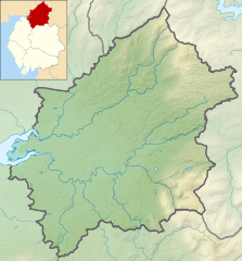
Description: Relief map of the City of Carlisle local government district, Cumbria, England, in 2021. Inset highlights the City of Carlisle among all the local government districts of Cumbria. Equirectangular map projection on WGS 84 datum, with N/S stretched 170% Geographic limits: West: 3.15°W East: 2.47°W North: 55.20°N South: 54.77°N
Title: Location relief map United Kingdom City of Carlisle
Credit: This file was derived from: Cumbria UK relief location map.jpg: Carlisle UK ward map 2010 (blank).svg:
Author: Cumbria UK relief location map.jpg: Nilfanion, created using Ordnance Survey data Carlisle UK ward map 2010 (blank).svg: Nilfanion, created using Ordnance Survey data derivative work: Dr Greg
Usage Terms: Creative Commons Attribution-Share Alike 4.0
License: CC BY-SA 4.0
License Link: https://creativecommons.org/licenses/by-sa/4.0
Attribution Required?: Yes
Image usage
The following page links to this image:
