
Image: Lombok Locator Topography
Size of this preview: 589 × 599 pixels. Other resolutions: 236 × 240 pixels | 2,003 × 2,037 pixels.
Original image (2,003 × 2,037 pixels, file size: 1.93 MB, MIME type: image/png)
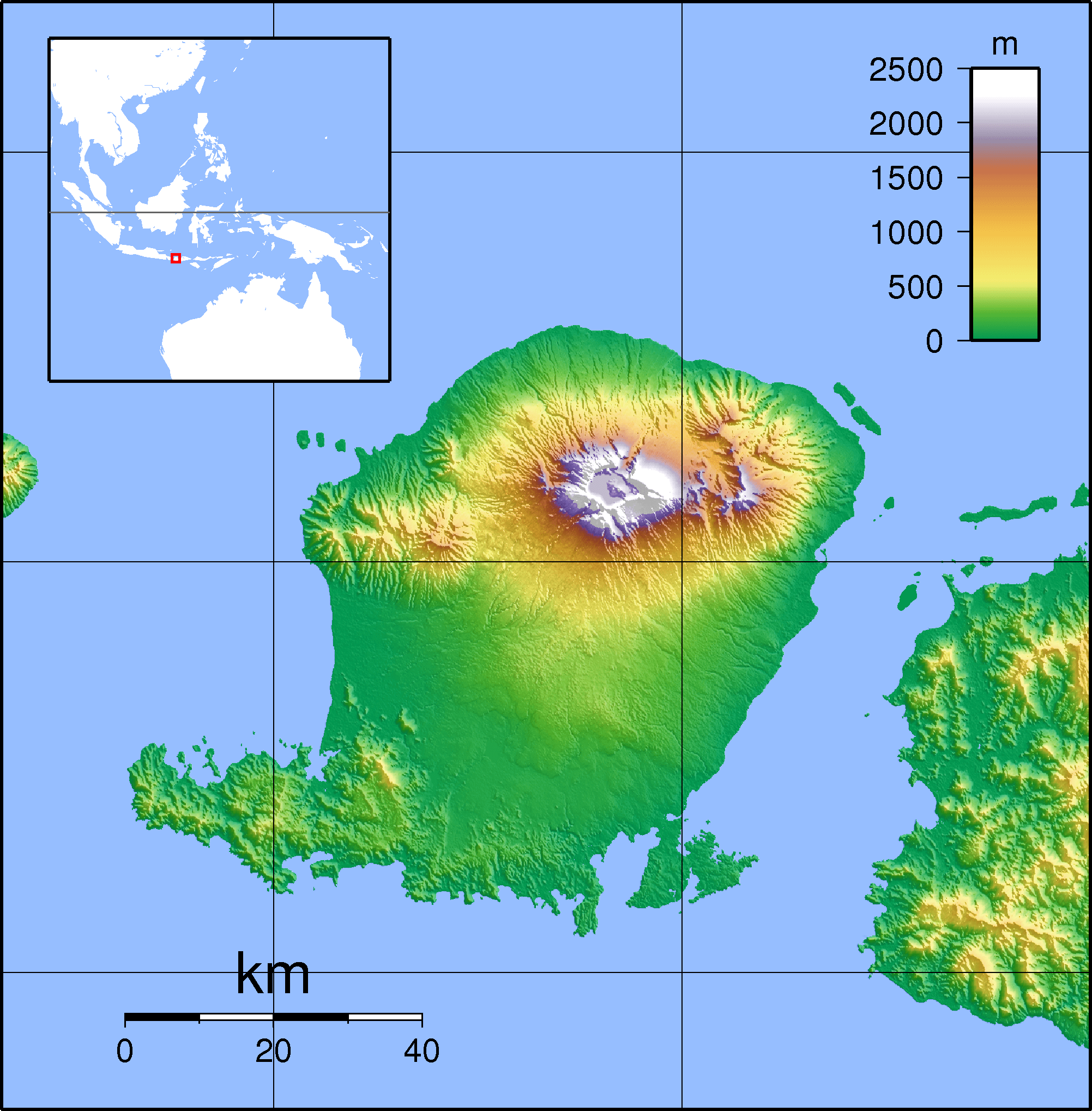
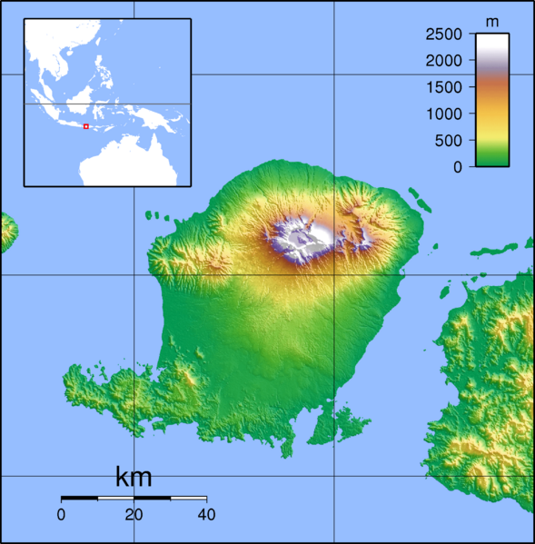
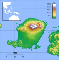
Description: Topographic map of Lombok, Indonesia. Created with GMT from SRTM data
Title: Lombok Locator Topography
Credit: Lombok_Topography.png
Author: Lombok_Topography.png: Sadalmelik derivative work: Elekhh (talk)
Usage Terms: Creative Commons Attribution-Share Alike 3.0
License: CC BY-SA 3.0
License Link: https://creativecommons.org/licenses/by-sa/3.0
Attribution Required?: Yes
Image usage
The following page links to this image:

All content from Kiddle encyclopedia articles (including the article images and facts) can be freely used under Attribution-ShareAlike license, unless stated otherwise.