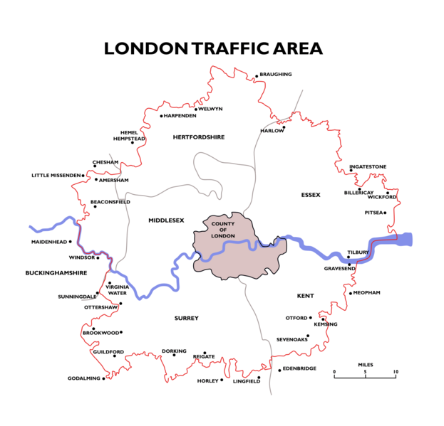
Image: London Traffic Area Map

Size of this preview: 623 × 599 pixels. Other resolutions: 249 × 240 pixels | 1,500 × 1,443 pixels.
Original image (1,500 × 1,443 pixels, file size: 87 KB, MIME type: image/png)
Description: Map of the London Traffic Area specified in the London Traffic Act 1924, an area within which the London and Home Counties Traffic Advisory Committee had authority to advise the Minister of Transport on traffic matters.
Title: London Traffic Area Map
Credit: Simplified and redrawn from 1934 map "London Passenger Transport Board - Area of Operation". Boundaries of pre-1965 Ceremonial counties based on File:English geographical counties 1889 with ridings.svg
Author: DavidCane
Usage Terms: Creative Commons Attribution-Share Alike 4.0
License: CC BY-SA 4.0
License Link: https://creativecommons.org/licenses/by-sa/4.0
Attribution Required?: Yes
Image usage
The following page links to this image:

All content from Kiddle encyclopedia articles (including the article images and facts) can be freely used under Attribution-ShareAlike license, unless stated otherwise.
