
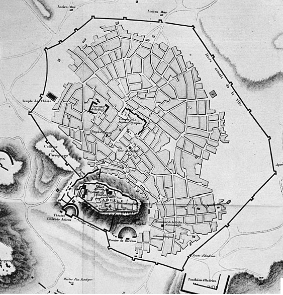
Image: Louis François Sébastien Fauvel-athens-before1800
No higher resolution available.
Louis_François_Sébastien_Fauvel-athens-before1800.jpg (563 × 586 pixels, file size: 280 KB, MIME type: image/jpeg)
Description: Map of the city of Athens, made before 1800 during the Ottoman Empire era.
Title: Louis François Sébastien Fauvel-athens-before1800
Credit: map
Author: Louis François_Sébastien Fauvel
Usage Terms: Public domain
License: Public domain
Attribution Required?: No
Image usage
The following page links to this image:

All content from Kiddle encyclopedia articles (including the article images and facts) can be freely used under Attribution-ShareAlike license, unless stated otherwise.