
Image: Louisiana-Mississippi-Tanner-cropped
Size of this preview: 800 × 595 pixels. Other resolutions: 320 × 238 pixels | 915 × 681 pixels.
Original image (915 × 681 pixels, file size: 625 KB, MIME type: image/jpeg)
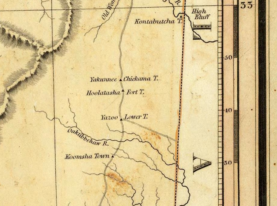
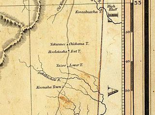
Description: Cropped portion of Henry Schenck Tanner's 1820 map of Mississippi and Louisiana. Portion shown is of northern Lauderdale County, Mississippi, including the historical community of Coosha, listed on the National Register of Historic Places.
Title: Louisiana-Mississippi-Tanner-cropped
Credit: http://mdah.state.ms.us/arrec/digital_archives/mapindex/index.php?view=542
Author: Henry Schenck Tanner
Usage Terms: Public domain
License: Public domain
Attribution Required?: No
Image usage
The following page links to this image:

All content from Kiddle encyclopedia articles (including the article images and facts) can be freely used under Attribution-ShareAlike license, unless stated otherwise.