
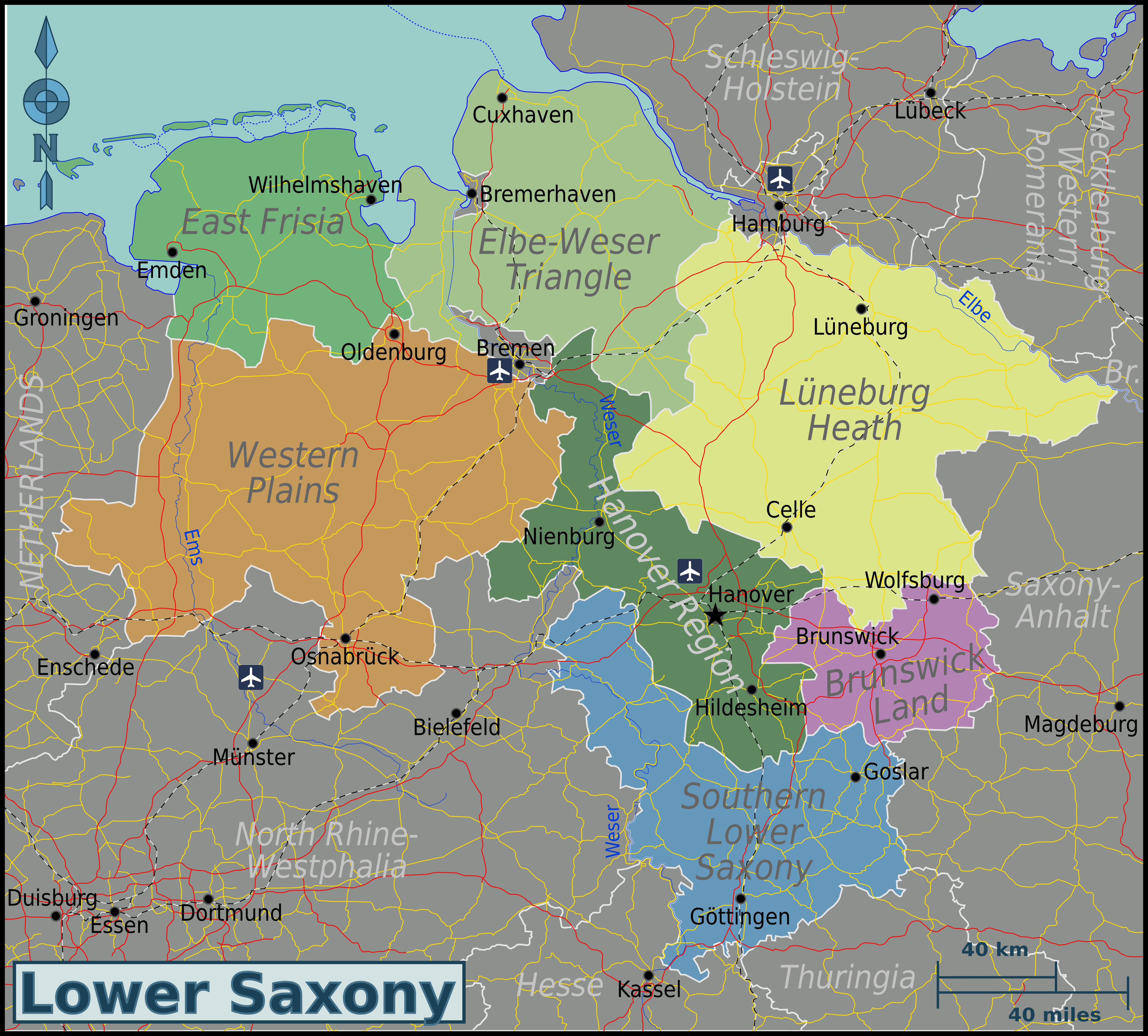
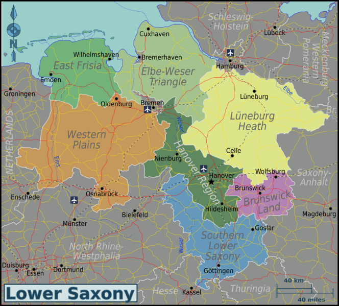
Image: Lower-Saxony-map
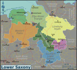
Size of this preview: 664 × 599 pixels. Other resolutions: 266 × 240 pixels | 3,032 × 2,736 pixels.
Original image (3,032 × 2,736 pixels, file size: 708 KB, MIME type: image/png)
Description: Travel map of Lower Saxony.
Title: Lower-Saxony-map
Credit: Own work based on OpenStreetMap.org [1]; regions traced from Lower saxony template.png by Mirko Thiessen (Baldhur)
Author: Globe-trotter
Usage Terms: Creative Commons Attribution-Share Alike 3.0
License: CC BY-SA 3.0
License Link: https://creativecommons.org/licenses/by-sa/3.0
Attribution Required?: Yes
Image usage
The following page links to this image:

All content from Kiddle encyclopedia articles (including the article images and facts) can be freely used under Attribution-ShareAlike license, unless stated otherwise.