
Image: MARTA original map
Size of this preview: 463 × 600 pixels. Other resolutions: 185 × 240 pixels | 2,774 × 3,594 pixels.
Original image (2,774 × 3,594 pixels, file size: 1,020 KB, MIME type: image/jpeg)
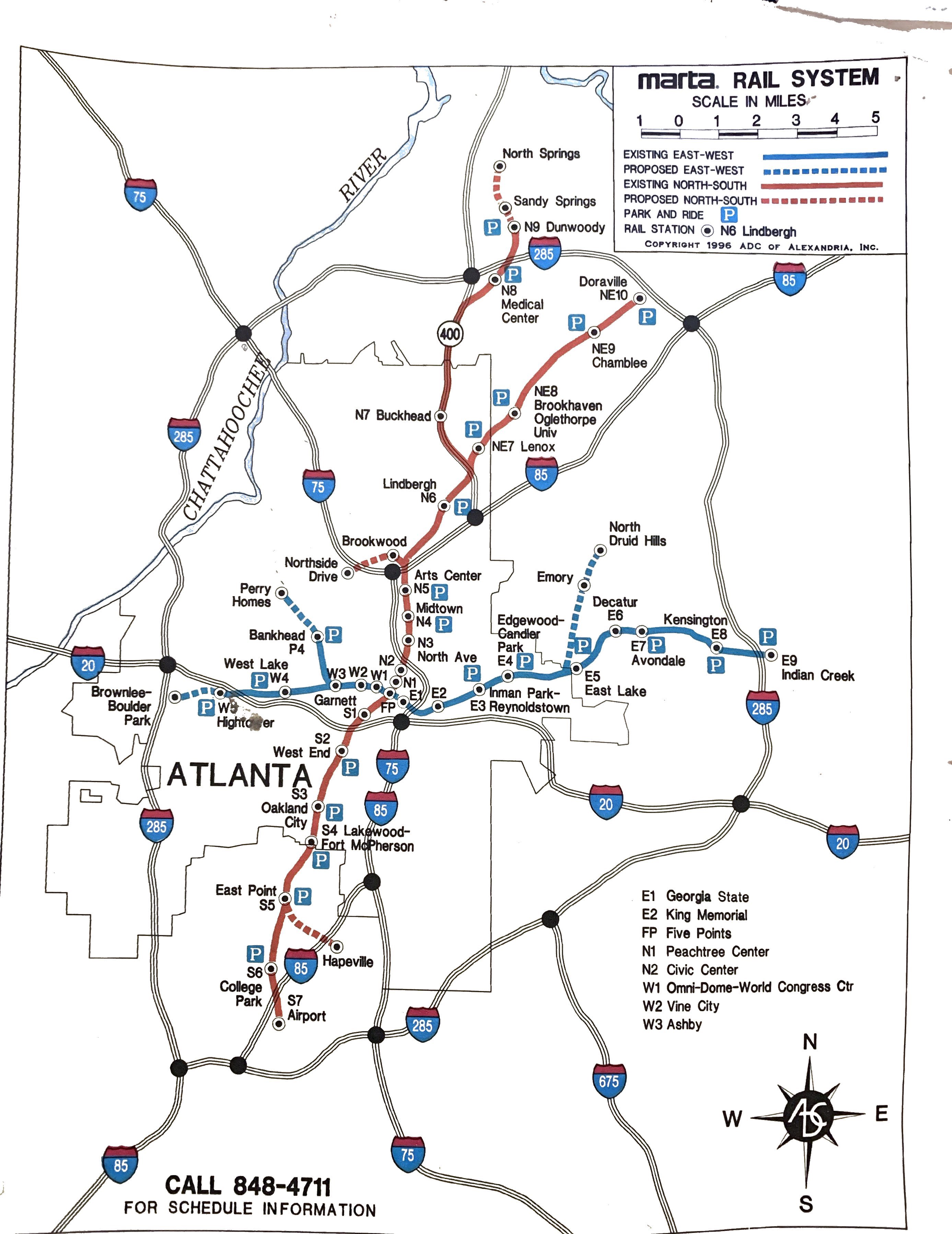
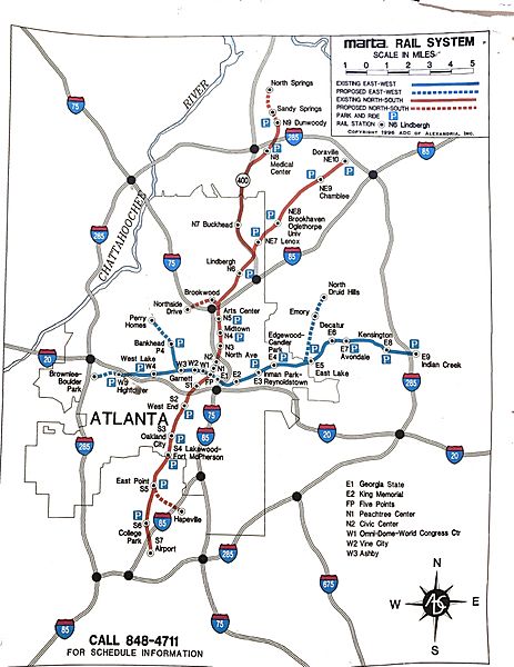
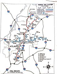
Description: Original MARTA Map from 1996 shortly after the opening of the North Line (now Red Line) to Dunwoody and prior to the extension to North Springs. Several previous expansion plans are also depicted.
Title: MARTA original map
Credit: Own work
Author: Townroswell
Usage Terms: Creative Commons Attribution-Share Alike 4.0
License: CC BY-SA 4.0
License Link: https://creativecommons.org/licenses/by-sa/4.0
Attribution Required?: Yes
Image usage
The following page links to this image:

All content from Kiddle encyclopedia articles (including the article images and facts) can be freely used under Attribution-ShareAlike license, unless stated otherwise.