
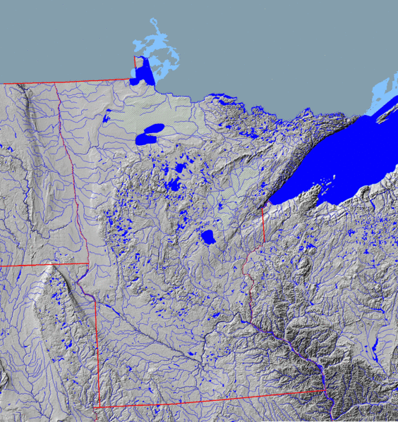
Image: MNTopo2

Size of this preview: 564 × 599 pixels. Other resolutions: 226 × 240 pixels | 1,450 × 1,540 pixels.
Original image (1,450 × 1,540 pixels, file size: 1.31 MB, MIME type: image/gif)
Description: Topographical map of Minnesota in central North America, showing state land and riverine boundaries, shaded relief, and watercourses. Image without borders at Commons at Image:MNTopo.GIF.
Title: MNTopo2
Credit: National Atlas Mapmaker
Usage Terms: Public domain
License: Public domain
Attribution Required?: No
Image usage
The following page links to this image:

All content from Kiddle encyclopedia articles (including the article images and facts) can be freely used under Attribution-ShareAlike license, unless stated otherwise.