
Image: Mali Federation in its region

Size of this PNG preview of this SVG file: 443 × 282 pixels. Other resolution: 320 × 204 pixels.
Original image (SVG file, nominally 443 × 282 pixels, file size: 261 KB)
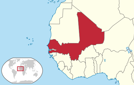
Description: Locator map of Mali Federation (1959-1960)
Title: Mali Federation in its region
Credit: This vector image includes elements that have been taken or adapted from this file:
Author: Milenioscuro
Usage Terms: Creative Commons Attribution-Share Alike 4.0
License: CC BY-SA 4.0
License Link: https://creativecommons.org/licenses/by-sa/4.0
Attribution Required?: Yes
Image usage
The following page links to this image:

All content from Kiddle encyclopedia articles (including the article images and facts) can be freely used under Attribution-ShareAlike license, unless stated otherwise.