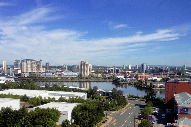
Image: Manchester Ship Canal and Salford Quays (geograph 4555343)
Manchester_Ship_Canal_and_Salford_Quays_(geograph_4555343).jpg (640 × 427 pixels, file size: 367 KB, MIME type: image/jpeg)
Description: A view looking from the rooftop-football pitch at SJ8096 : Hotel Football. The foreground is part of the Wharfside area of Trafford Park. On the other side of the Manchester Ship Canal is the redeveloped Manchester Docks, now called Salford Quays.
Title: Manchester Ship Canal and Salford Quays (geograph 4555343)
Credit: From geograph.org.uk
Author: David Dixon
Permission: Creative Commons Attribution Share-alike license 2.0
Usage Terms: Creative Commons Attribution-Share Alike 2.0
License: CC BY-SA 2.0
License Link: https://creativecommons.org/licenses/by-sa/2.0
Attribution Required?: Yes
Image usage
The following page links to this image:

All content from Kiddle encyclopedia articles (including the article images and facts) can be freely used under Attribution-ShareAlike license, unless stated otherwise.

