
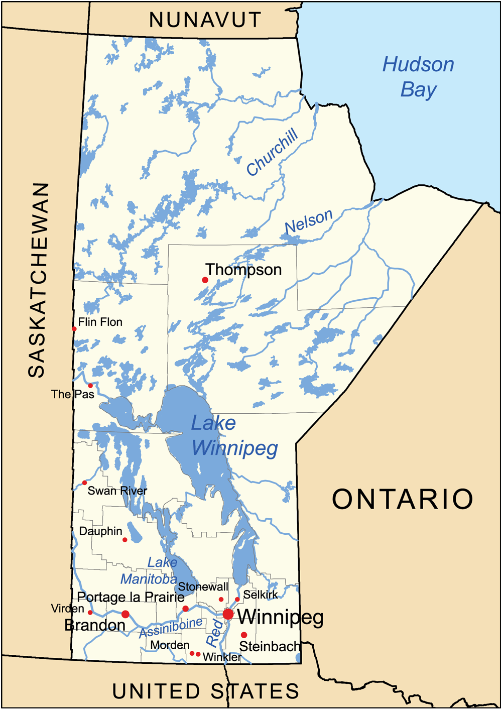
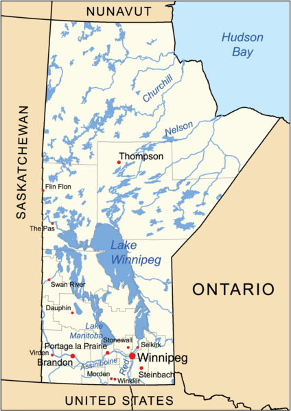
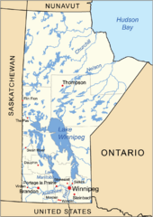
Image: Manitoba generalmap
Size of this preview: 424 × 599 pixels. Other resolutions: 170 × 240 pixels | 1,000 × 1,412 pixels.
Original image (1,000 × 1,412 pixels, file size: 587 KB, MIME type: image/png)
Description: This is a general map of the Manitoba.
Title: Manitoba generalmap
Credit: Own work using Digital Chart of the World.
Author: Kmusser
Usage Terms: Creative Commons Attribution-Share Alike 3.0
License: CC BY-SA 3.0
License Link: http://creativecommons.org/licenses/by-sa/3.0
Attribution Required?: Yes
Image usage
There are no pages that link to this image.

All content from Kiddle encyclopedia articles (including the article images and facts) can be freely used under Attribution-ShareAlike license, unless stated otherwise.