
Image: Map Kitajima,Tokushima en
Size of this preview: 800 × 500 pixels. Other resolutions: 320 × 200 pixels | 1,281 × 801 pixels.
Original image (1,281 × 801 pixels, file size: 49 KB, MIME type: image/png)
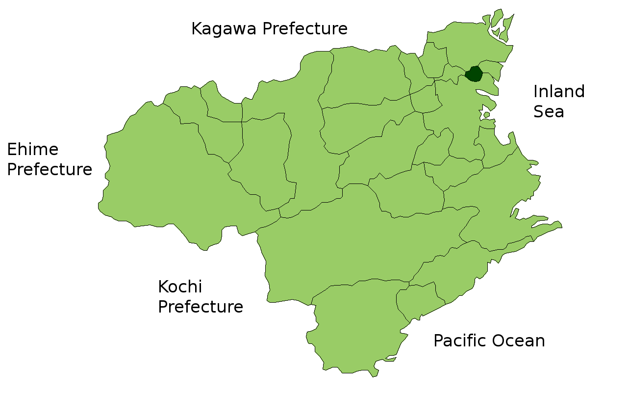
Description: Map of Tokushima Prefecture highlighting Kitajima town. Borders of map as of October, 2006. (blank map used from [1]) See also Image:TokushimaMapCurrent.png
Title: Map Kitajima,Tokushima en
Credit: No machine-readable source provided. Own work assumed (based on copyright claims).
Author: No machine-readable author provided. Reggaeman assumed (based on copyright claims).
Usage Terms: Public domain
License: Public domain
Attribution Required?: No
Image usage
The following page links to this image:

All content from Kiddle encyclopedia articles (including the article images and facts) can be freely used under Attribution-ShareAlike license, unless stated otherwise.