
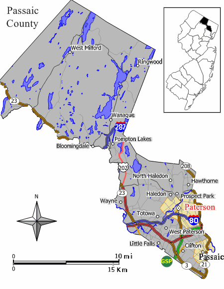
Image: Map Passaic County Paterson NJ
No higher resolution available.
Map_Passaic_County_Paterson_NJ.gif (450 × 580 pixels, file size: 40 KB, MIME type: image/gif)
Description: Closeup view of Map of Paterson in w:Passaic County, New Jersey (extracted from original map work by Jim Irwin, December 2005), with distance scale in miles/kilometers, Interstate-icons enlarged 50%, town names clarified, and edges cropped 130px (width 450px had been 580px).
Title: Map Passaic County Paterson NJ
Credit: w:File:Paterson nj.png (cropped and magnified 30%, adding kilometer scale, and enlarging names/icons).
Author: JimIrwin, Wikid77
Usage Terms: Creative Commons Attribution-Share Alike 3.0
License: CC-BY-SA-3.0
License Link: http://creativecommons.org/licenses/by-sa/3.0/
Attribution Required?: Yes
Image usage
The following page links to this image:

All content from Kiddle encyclopedia articles (including the article images and facts) can be freely used under Attribution-ShareAlike license, unless stated otherwise.