
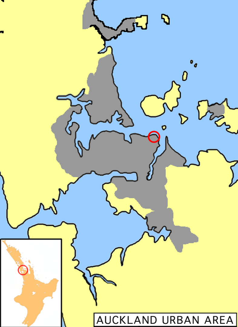
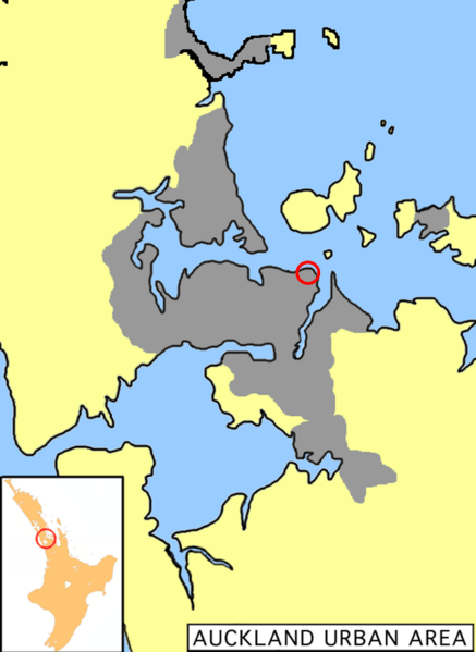
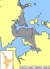
Image: Map St. Heliers, Auckland Urban Area
Size of this preview: 437 × 599 pixels. Other resolutions: 175 × 240 pixels | 786 × 1,078 pixels.
Original image (786 × 1,078 pixels, file size: 248 KB, MIME type: image/png)
Description: Location of St. Heliers in the Auckland Urban Area, modified File:Auckland urban area.png to include red circle indicating location of St. Heliers.
Title: Map St. Heliers, Auckland Urban Area
Credit: File:Auckland urban area.png
Author: Grutness and Avenue
Usage Terms: Public domain
License: Public domain
Attribution Required?: No
Image usage
There are no pages that link to this image.

All content from Kiddle encyclopedia articles (including the article images and facts) can be freely used under Attribution-ShareAlike license, unless stated otherwise.