
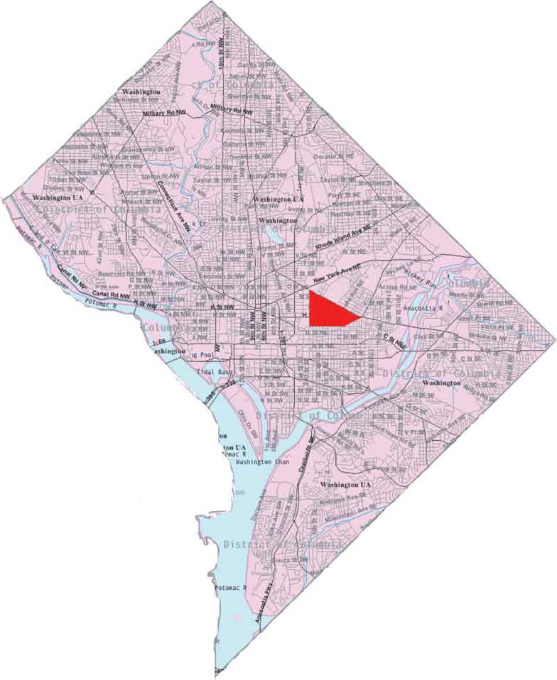
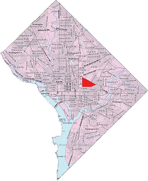
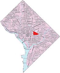
Image: Map near northeast
Size of this preview: 491 × 600 pixels. Other resolutions: 196 × 240 pixels | 784 × 958 pixels.
Original image (784 × 958 pixels, file size: 46 KB, MIME type: image/jpeg)
Description: This image is a modified version of a self-generated reference map from the U.S. Census Bureau's American Factfinder at http://factfinder.census.gov/ by Wikipedia user Msclguru.
Title: Map near northeast
Credit: Transferred from en.wikipedia to Commons.
Author: Msclguru at English Wikipedia
Usage Terms: Public domain
License: Public domain
Attribution Required?: No
Image usage
The following page links to this image:

All content from Kiddle encyclopedia articles (including the article images and facts) can be freely used under Attribution-ShareAlike license, unless stated otherwise.