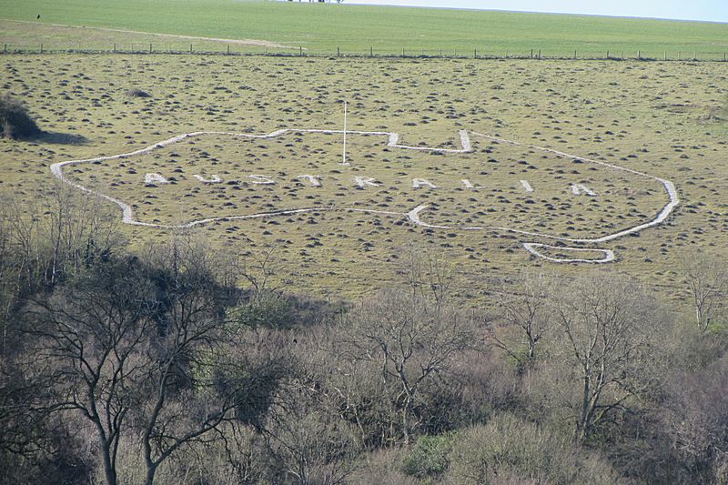
Image: Map of Australia downland carving

Size of this preview: 800 × 533 pixels. Other resolutions: 320 × 213 pixels | 4,000 × 2,664 pixels.
Original image (4,000 × 2,664 pixels, file size: 3.76 MB, MIME type: image/jpeg)
Description: This is an outline map of Australia carved in the turf of the chalk downland of Compton Chamberlayne in south Wiltshire. It was made by Australian Imperial Forces soldiers when they were occupying huge training camps in the fields below the downs during World War 1.
Title: Map of Australia downland carving
Credit: Own work
Author: Richard Avery
Usage Terms: Creative Commons Attribution-Share Alike 4.0
License: CC BY-SA 4.0
License Link: https://creativecommons.org/licenses/by-sa/4.0
Attribution Required?: Yes
Image usage
The following page links to this image:

All content from Kiddle encyclopedia articles (including the article images and facts) can be freely used under Attribution-ShareAlike license, unless stated otherwise.
