
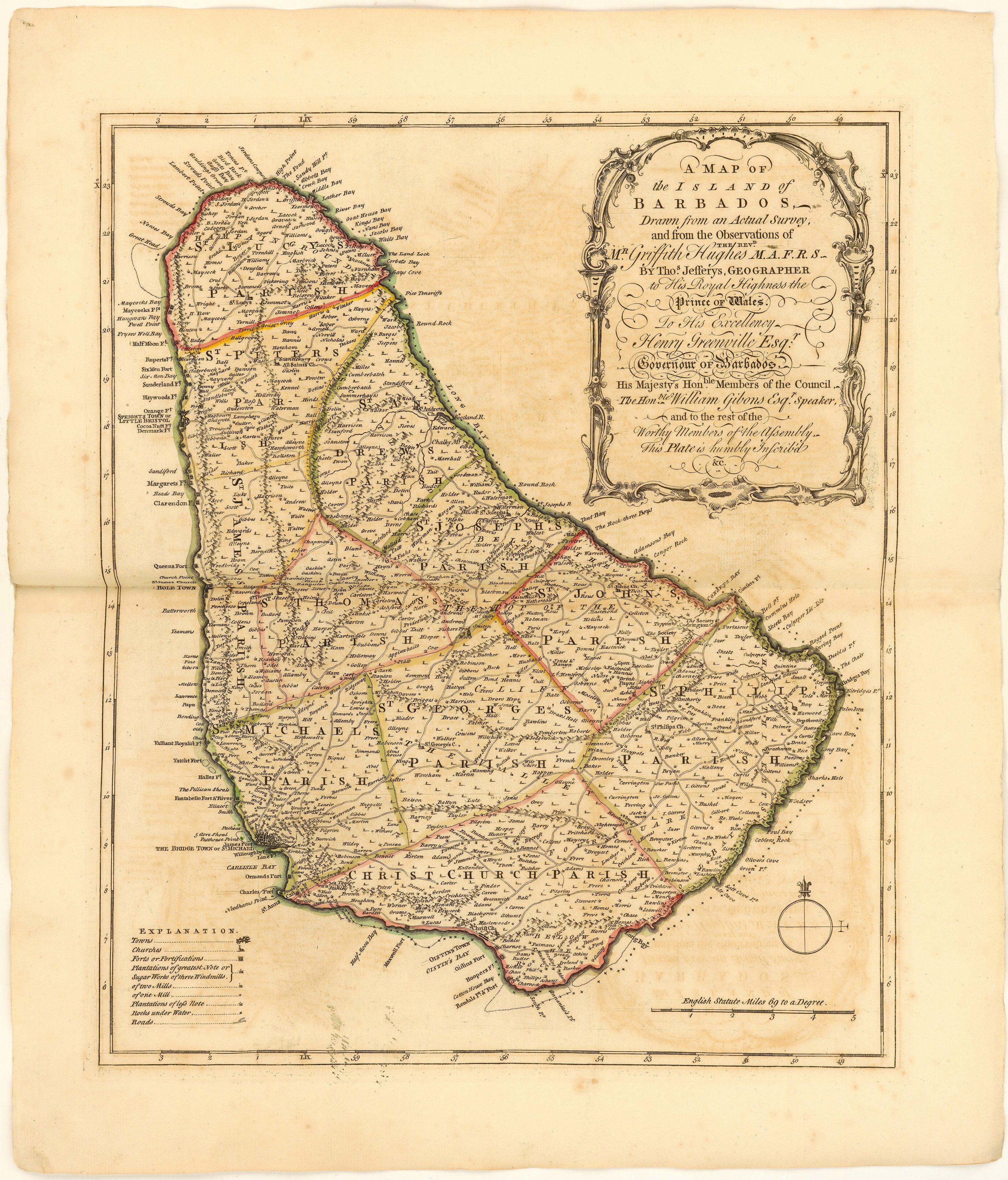
Image: Map of Barbados Thomas Jefferys 1750
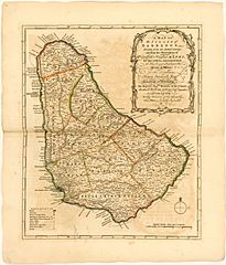
Size of this preview: 512 × 599 pixels. Other resolutions: 205 × 240 pixels | 3,432 × 4,017 pixels.
Original image (3,432 × 4,017 pixels, file size: 3.48 MB, MIME type: image/jpeg)
Description: A Map of the Island of Barbados Drawn from an Actual Survey, and from the Observations of the Revd. Mr. Griffith Hughes, M.A.F.R.S. By Thomas Jefferys, Geographer. Map published in Griffith Hughes' The natural history of Barbados (London, 1750)
Title: Map of Barbados Thomas Jefferys 1750
Credit: John Carter Brown Library
Author: Jefferys, Thomas, -1771
Usage Terms: Public domain
License: Public domain
Attribution Required?: No
Image usage
The following page links to this image:

All content from Kiddle encyclopedia articles (including the article images and facts) can be freely used under Attribution-ShareAlike license, unless stated otherwise.