
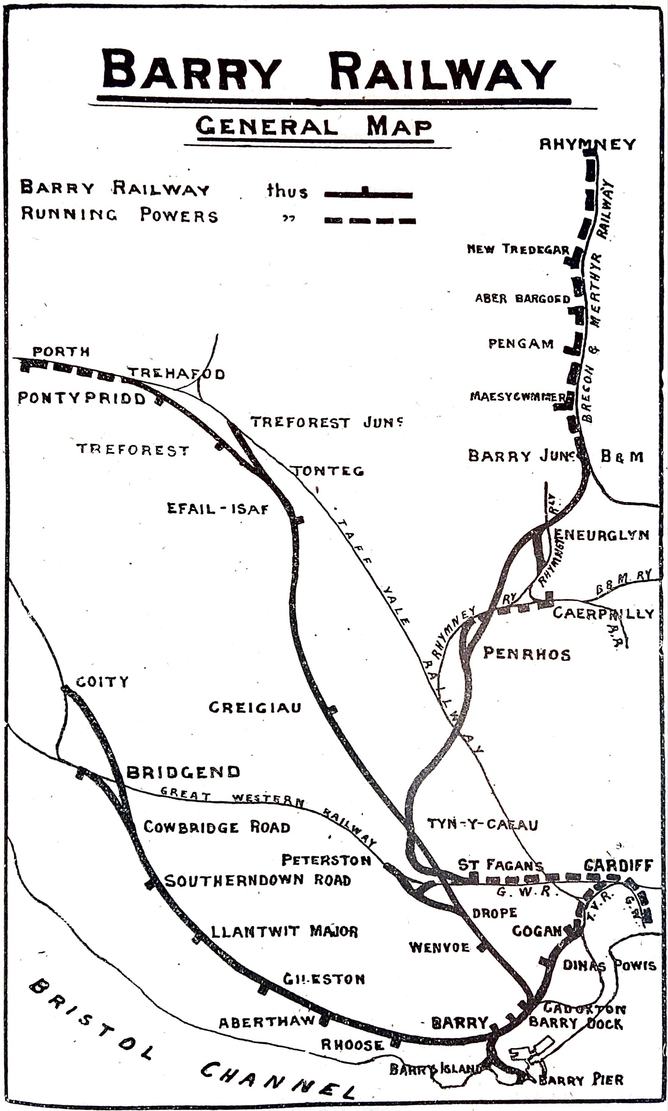
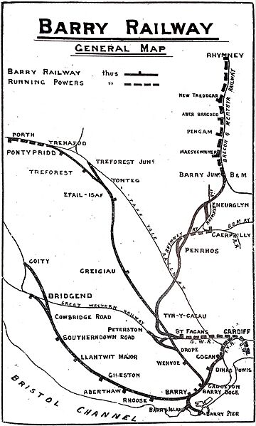
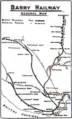
Image: Map of Barry Railway 1920
Size of this preview: 360 × 598 pixels. Other resolutions: 144 × 240 pixels | 2,191 × 3,642 pixels.
Original image (2,191 × 3,642 pixels, file size: 1.2 MB, MIME type: image/jpeg)
Description: A map of the lines of the Barry Railway.
Title: Map of Barry Railway 1920
Credit: The Railway Year Book for 1920. The Railway Publishing Company Limited, London.
Usage Terms: Public domain
License: Public domain
Attribution Required?: No
Image usage
The following page links to this image:

All content from Kiddle encyclopedia articles (including the article images and facts) can be freely used under Attribution-ShareAlike license, unless stated otherwise.