
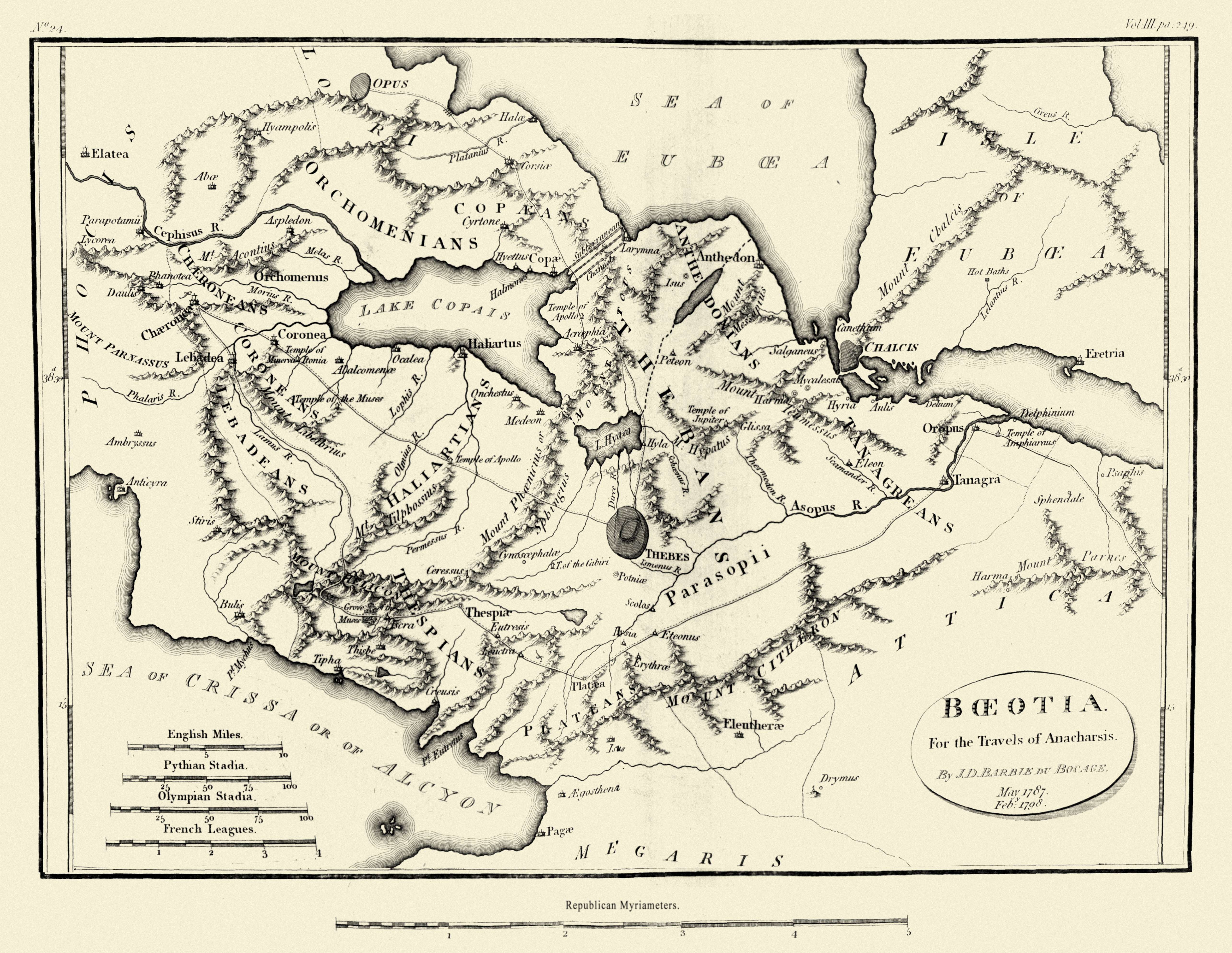
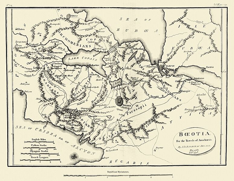
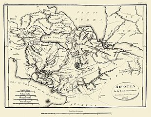
Image: Map of Boeotia
Size of this preview: 775 × 600 pixels. Other resolutions: 310 × 240 pixels | 5,136 × 3,974 pixels.
Original image (5,136 × 3,974 pixels, file size: 13.62 MB, MIME type: image/jpeg)
Description: Map of Ancient Boeotia
Title: Map of Boeotia
Credit: Maps, plans, views and coins illustrative of the travels of Anacharsis the Younger in Greece, during the middle of the fourth century before the Christian era
Author: J. J. Barthélemy
Usage Terms: Public domain
License: Public domain
Attribution Required?: No
Image usage
The following page links to this image:

All content from Kiddle encyclopedia articles (including the article images and facts) can be freely used under Attribution-ShareAlike license, unless stated otherwise.