
Image: Map of Bushire 1750s
Size of this preview: 573 × 599 pixels. Other resolutions: 230 × 240 pixels | 2,000 × 2,091 pixels.
Original image (2,000 × 2,091 pixels, file size: 88 KB, MIME type: image/png)
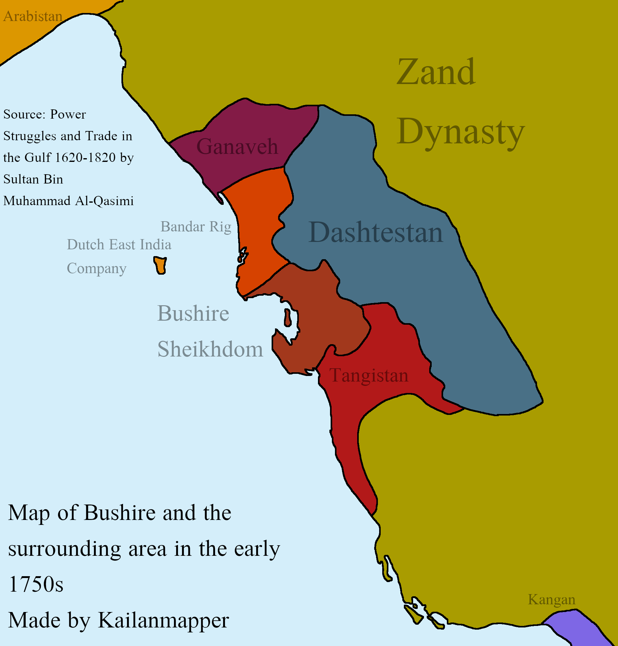
Description: This is a map of Bushire(Bushehr) and the surrounding areas in the Early 1750s during the Collapse of the Afsharid Empire. My source for the map is Power Struggles and Trade in the Gulf 1620-1820 by Sultan bin Muhammad Al-Qasimi.
Title: Map of Bushire 1750s
Credit: Own work
Author: Kailanmapper
Usage Terms: Creative Commons Attribution-Share Alike 4.0
License: CC BY-SA 4.0
License Link: https://creativecommons.org/licenses/by-sa/4.0
Attribution Required?: Yes
Image usage
The following 2 pages link to this image:

All content from Kiddle encyclopedia articles (including the article images and facts) can be freely used under Attribution-ShareAlike license, unless stated otherwise.