
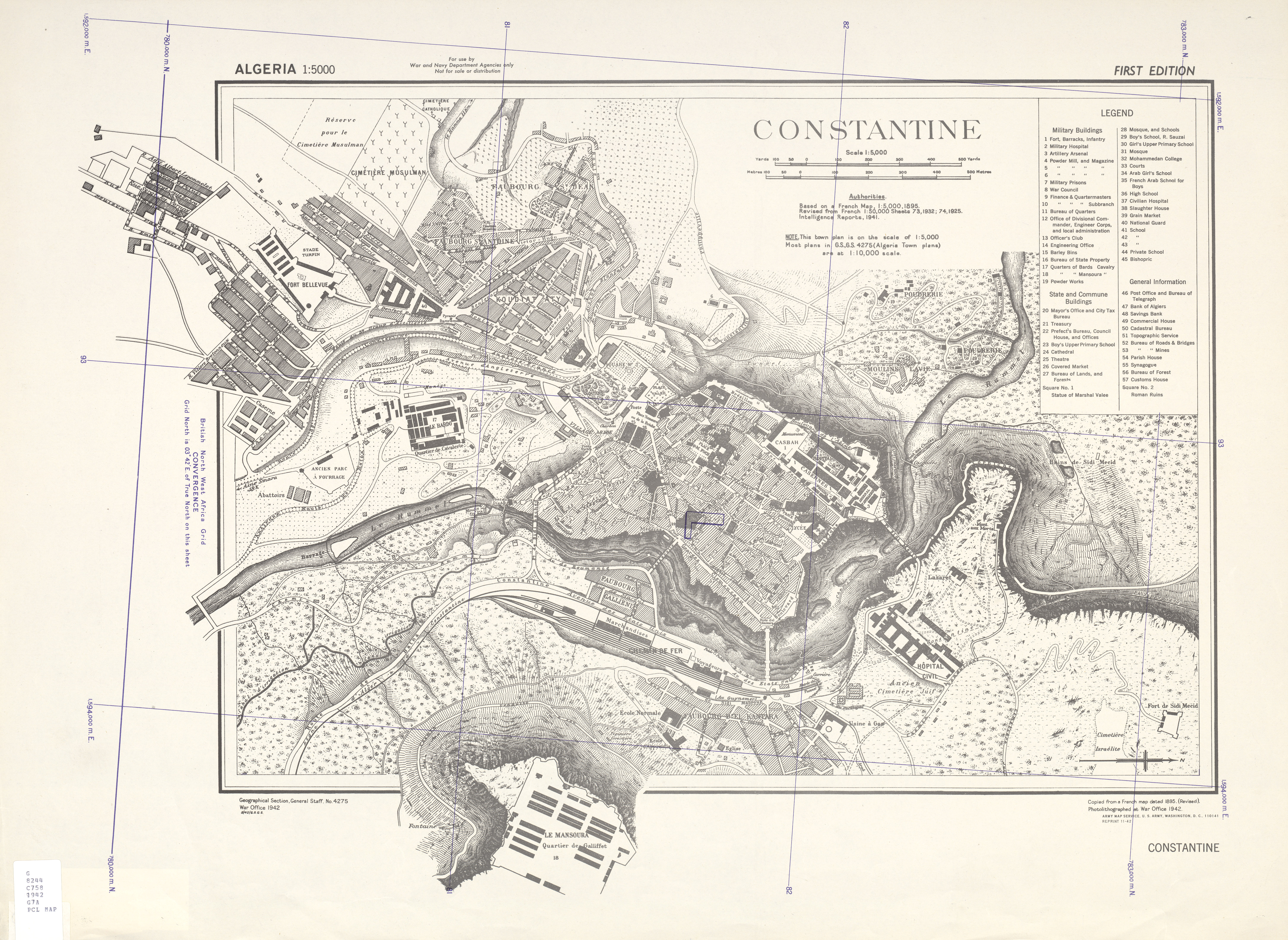
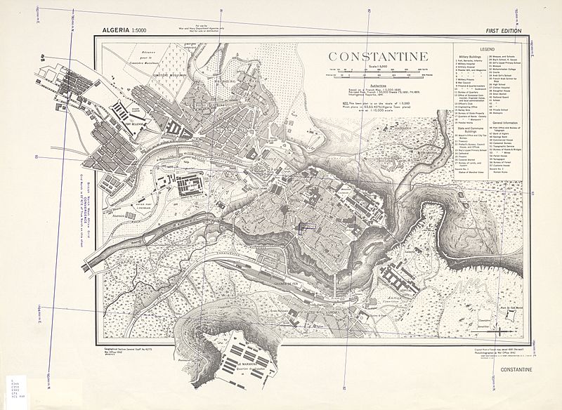
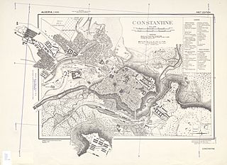
Image: Map of Constantine Algeria 1940s
Size of this preview: 800 × 584 pixels. Other resolutions: 320 × 233 pixels | 5,964 × 4,351 pixels.
Original image (5,964 × 4,351 pixels, file size: 6.86 MB, MIME type: image/jpeg)
Description: a ww2 map of Constantine
Title: Map of Constantine Algeria 1940s
Credit: http://www.lib.utexas.edu/maps/ams/algeria_city_plans/txu-oclc-6543133.jpg
Author: US Army
Usage Terms: Public domain
License: Public domain
Attribution Required?: No
Image usage
The following page links to this image:

All content from Kiddle encyclopedia articles (including the article images and facts) can be freely used under Attribution-ShareAlike license, unless stated otherwise.