
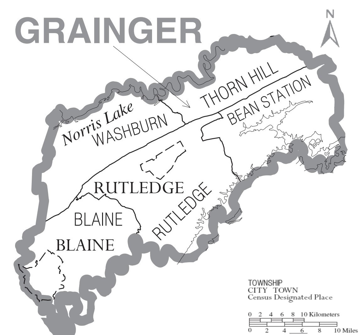
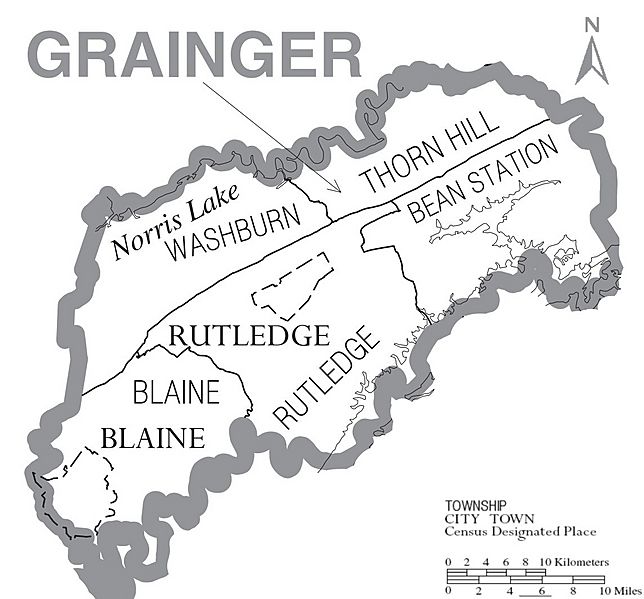
Image: Map of Grainger County, Tennessee With Municipal and Township Labels
Size of this preview: 644 × 599 pixels. Other resolutions: 258 × 240 pixels | 1,143 × 1,064 pixels.
Original image (1,143 × 1,064 pixels, file size: 159 KB, MIME type: image/jpeg)
Description: Map of Grainger County, North Carolina, United States with township and municipal boundaries
Title: Map of Grainger County, Tennessee With Municipal and Township Labels
Credit: https://www2.census.gov/geo/maps/general_ref/cousub_outline/cen2k_pgsz/tn_cosub.pdf
Author: United States Census Bureau
Usage Terms: Public domain
License: Public domain
Attribution Required?: No
Image usage
The following page links to this image:

All content from Kiddle encyclopedia articles (including the article images and facts) can be freely used under Attribution-ShareAlike license, unless stated otherwise.