
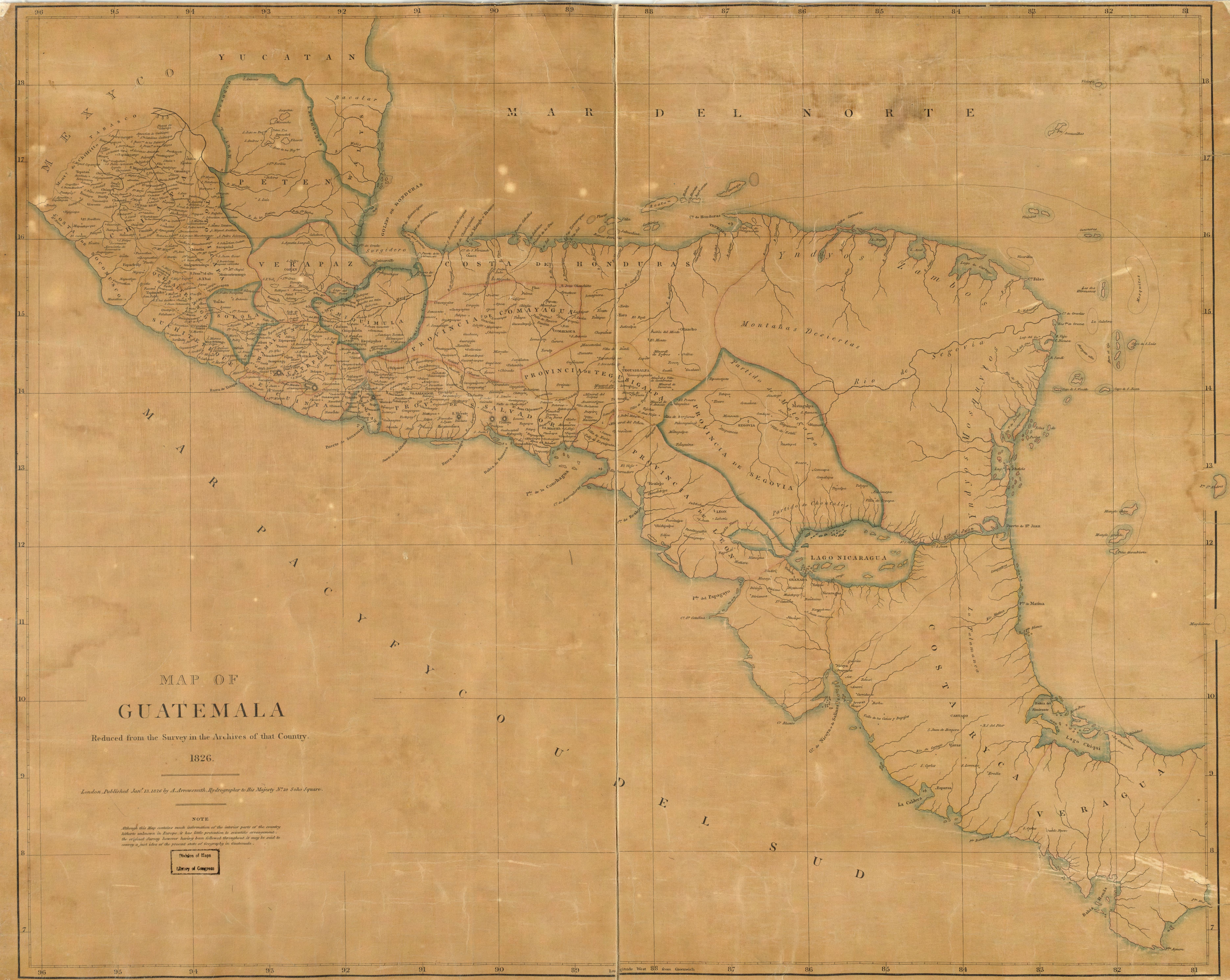
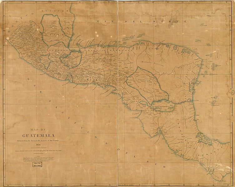
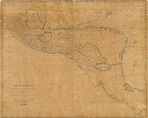
Image: Map of Guatemala - reduced from the survey in the archives of that country, 1826. LOC 2004629011
Size of this preview: 752 × 599 pixels. Other resolutions: 301 × 240 pixels | 7,485 × 5,967 pixels.
Original image (7,485 × 5,967 pixels, file size: 7.61 MB, MIME type: image/jpeg)
Description: Available also through the Library of Congress web site as a raster image.
Title: Map of Guatemala - reduced from the survey in the archives of that country, 1826. LOC 2004629011
Credit: https://www.loc.gov/item/2004629011/
Author: Arrowsmith, Aaron
Permission: This map is available from the United States Library of Congress's Geography & Map Division under the digital ID g4810.ma001004. This tag does not indicate the copyright status of the attached work. A normal copyright tag is still required. See Commons:Licensing.
Usage Terms: Public domain
License: Public domain
Attribution Required?: No
Image usage
The following page links to this image:

All content from Kiddle encyclopedia articles (including the article images and facts) can be freely used under Attribution-ShareAlike license, unless stated otherwise.