
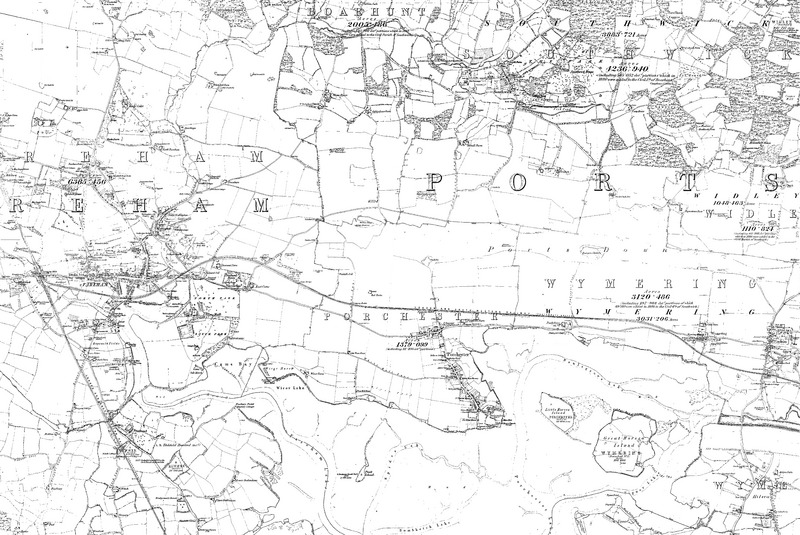
Image: Map of Hampshire Sheet 075, Ordnance Survey, 1866-1889f
Size of this JPG preview of this TIF file: 800 × 535 pixels. Other resolution: 320 × 214 pixels.
Original image (10,704 × 7,163 pixels, file size: 219.36 MB, MIME type: image/tiff)
Description: Sheet 075 Boarhunt, Cosham, Crockerhill, Fareham, Funtley, Hilsea, Port Solent, Portchester, Southwick, Wallington, Wymering, PO17 6, PO6 2, PO17 5, PO16 7, PO3 5, PO6 4, PO16 9, PO16 8, PO6 3
Title: Map of Hampshire
Credit: http://www.british-history.ac.uk/os-1-to-10560/hampshire/075
Author: Ordnance Survey
Usage Terms: Public domain
License: Public domain
Attribution Required?: No
Image usage
The following page links to this image:

All content from Kiddle encyclopedia articles (including the article images and facts) can be freely used under Attribution-ShareAlike license, unless stated otherwise.