
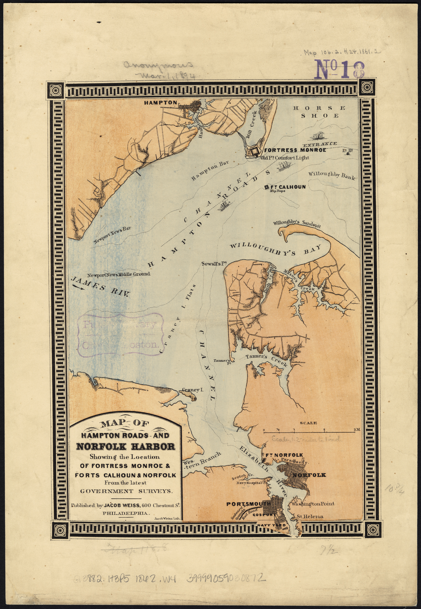
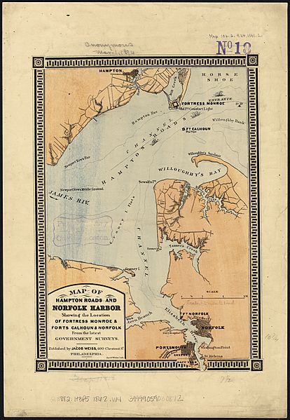
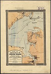
Image: Map of Hampton Roads and Norfolk Harbor, showing the location of Fortress Monroe & Forts Calhoun & Norfolk from the latest government surveys (6093619299)
Description: Zoom into this map at maps.bpl.org. Author: Weiss, Jacob Publisher: Weiss, Jacob Date: 1862 Location: Fort Calhoun (Va.), Fort Monroe (Va.), Fort Norfolk (Va.), Hampton Roads (Va. : Harbor) Dimension: 28 x 19 cm Scale: [ca. 1:160,000] Call Number: G3882.H3P5 1862 .W4
Title: Map of Hampton Roads and Norfolk Harbor, showing the location of Fortress Monroe & Forts Calhoun & Norfolk from the latest government surveys (6093619299)
Credit: Map of Hampton Roads and Norfolk Harbor, showing the location of Fortress Monroe & Forts Calhoun & Norfolk : from the latest government surveys Uploaded by tm
Author: http://maps.bpl.org
Usage Terms: Creative Commons Attribution 2.0
License: CC BY 2.0
License Link: https://creativecommons.org/licenses/by/2.0
Attribution Required?: Yes
Image usage
The following page links to this image:

.jpg)