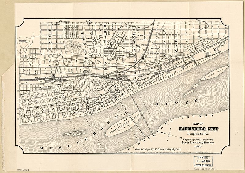
Image: Map of Harrisburg City, Dauphin Co. Pa. LOC 2011593711

Description: City street map showing ward boundaries, ward names, and principal buildings. Oriented with north toward the upper left. "Entered according to act of Congress in the year 1887, by W. Harry Boyd, in the office of the Librarian of Congress at Washington, D.C." Available also through the Library of Congress Web site as a raster image. LC copy imperfect: Torn at left margin, removed from city directory.
Title: Map of Harrisburg City, Dauphin Co. Pa. LOC 2011593711
Credit: https://www.loc.gov/item/2011593711/
Author: Boyd, William Henry; Cowden, M.; Harrisburg (Pa.). City Engineer
Permission: This map is available from the United States Library of Congress's Geography & Map Division under the digital ID g3824h.wd000535. This tag does not indicate the copyright status of the attached work. A normal copyright tag is still required. See Commons:Licensing for more information.
Usage Terms: Public domain
License: Public domain
Attribution Required?: No
Image usage
The following page links to this image:

