
Image: Map of Hayti Island (1839)
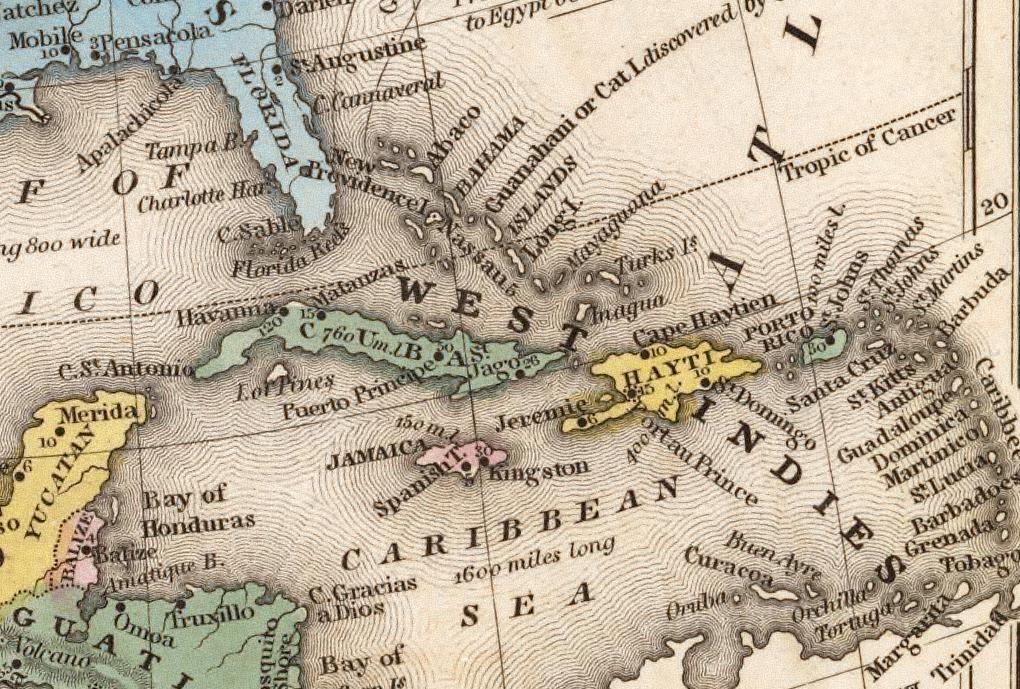
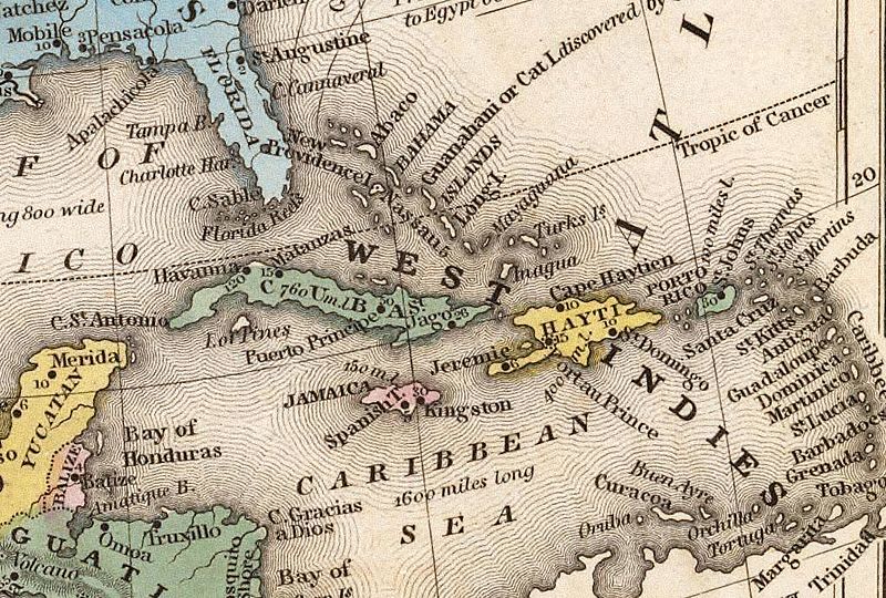
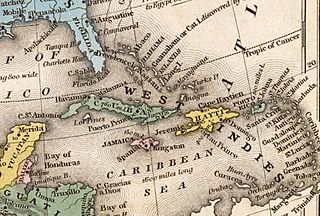
Description: This view of of the West Indies was extracted from a plate in an Samuel Augustus Mitchell's School and Family Geography (1839) published in Philadelphia, Pennsylvania. David Rumsey and Edith M. Punt. Cartographica Extraordinaire: The Historical Map Transformed. ESRI Press (March 2004).
Title: Map of Hayti Island (1839)
Credit: https://www.flickr.com/photos/mdorn/2168594/in/photolist-9ak6b3-85cxE2-aLirog-aKJ2un-9Eb6E3-85cD6M-85bWUs-85ctoF-c7Dy-9cnCs5-9aucwz-9cnZUC-9zZp2v-aLfmNz-aLi6qr-aLiFg8-aLifCK-aLinEF-aLiHok-aLi3Dc-aLiiRz-aLicUe-aLiCHZ-aLix2B-aKHRFB-aKHHtp-ejVCNZ-aKJ5aP-aLfj7K-aKHNSK-85fPNJ-85bXKY-85fGFb-8583FZ-aLiPz4-85fuFC-85fKVh-858Ppc-85e2vS-85cB5c-85fvZA-85csNX-85fQHy-85dUFq-85croH-85aMJt-85b8Jb-85cAjv-857Xnk-85bpfA
Author: Michael L. Dorn
Usage Terms: Creative Commons Attribution-Share Alike 2.0
License: CC BY-SA 2.0
License Link: https://creativecommons.org/licenses/by-sa/2.0
Attribution Required?: Yes
Image usage
The following page links to this image:

.jpg)