
Image: Map of Iceland

Size of this PNG preview of this SVG file: 739 × 600 pixels. Other resolution: 296 × 240 pixels.
Original image (SVG file, nominally 1,834 × 1,489 pixels, file size: 717 KB)
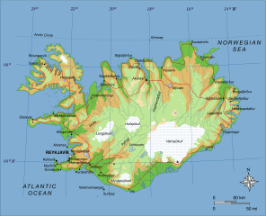
Description: A map of Iceland, showing major towns, rivers, lakes and glaciers. Translated from a map on the Greek Wikipedia (located here).
Title: Map of Iceland
Credit: Own work, based on File:Map of Iceland el.svg created by el:user:Αντιγόνη
Author: Max Naylor
Usage Terms: Public domain
License: Public domain
Attribution Required?: No
Image usage
The following 2 pages link to this image:

All content from Kiddle encyclopedia articles (including the article images and facts) can be freely used under Attribution-ShareAlike license, unless stated otherwise.