
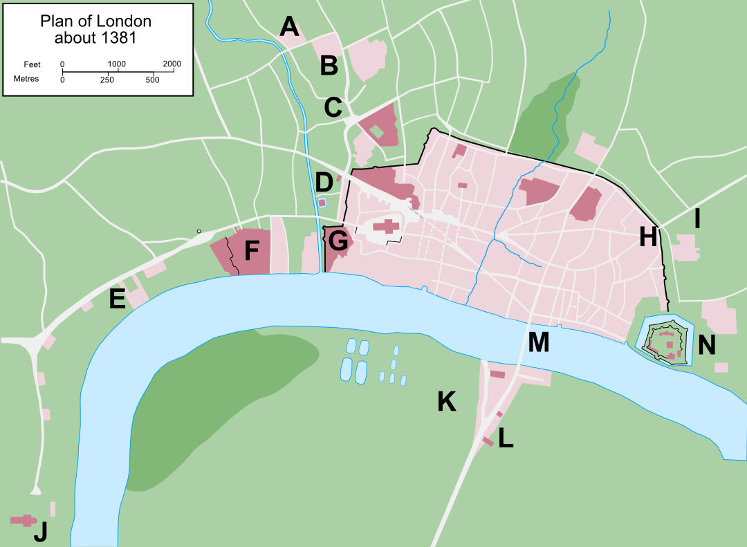
Image: Map of London, 1381 labelled
Description: Map of the British city of London in around 1381. Based on a vectorised version of File:Plan of London in 1300.jpg by William R. Shepherd, a work in the public domain in the United States, also its home country, by virtue of being published in 1923 without copyright renewal. Additional detail after Marjorie B. Honeybourne's map of London under Richard II, 1940.
Title: Map of London, 1381 labelled
Credit: Base is File:Map of London, 1300.svg, a vectorised version of File:Plan of London in 1300.jpg by William R. Shepherd; additional details added
Author: Original plan by William R. Shepherd (1871 - 1934); vectorisation by Grandiose; additional work by hchc2009
Usage Terms: Creative Commons Attribution-Share Alike 3.0
License: CC BY-SA 3.0
License Link: http://creativecommons.org/licenses/by-sa/3.0
Attribution Required?: Yes
Image usage
There are no pages that link to this image.
