
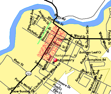
Image: Map of Montgomery showing historic districts
No higher resolution available.
Map_of_Montgomery_showing_historic_districts.gif (422 × 359 pixels, file size: 20 KB, MIME type: image/gif)
Description: en:Derivative work of map created on U.S. Census Bureau Tiger website[1]. Overlays added by Daniel Case
Title: Map of Montgomery showing historic districts
Usage Terms: Public domain
License: Public domain
Attribution Required?: No
Image usage
The following page links to this image:

All content from Kiddle encyclopedia articles (including the article images and facts) can be freely used under Attribution-ShareAlike license, unless stated otherwise.