
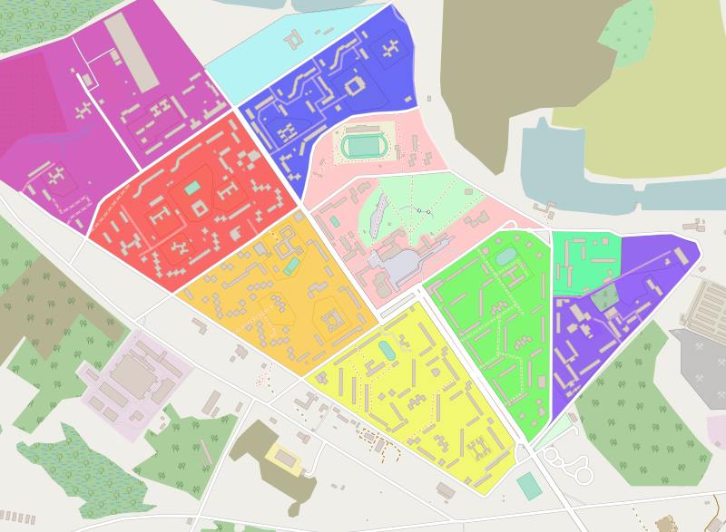
Image: Map of Pripyat microdistricts

Size of this PNG preview of this SVG file: 800 × 587 pixels. Other resolution: 320 × 235 pixels.
Original image (SVG file, nominally 1,308 × 960 pixels, file size: 2.2 MB)
Description: OpenStreetMap - Map of Pripyat, configuration of the city: - Microdistrict 1 - Microdistrict 2 - Microdistrict 3 - Microdistrict 4 - Microdistrict 4a - Microdistrict 5 - City center - Hospital complex - Communal houses - Center of public and educational buildings and structures
Title: Map of Pripyat microdistricts
Credit: File:Map of Pripyat modified.svg
Author: ShockD, ChNPP
Usage Terms: Creative Commons Attribution-Share Alike 2.0
License: CC BY-SA 2.0
License Link: https://creativecommons.org/licenses/by-sa/2.0
Attribution Required?: Yes
Image usage
The following page links to this image:

All content from Kiddle encyclopedia articles (including the article images and facts) can be freely used under Attribution-ShareAlike license, unless stated otherwise.