
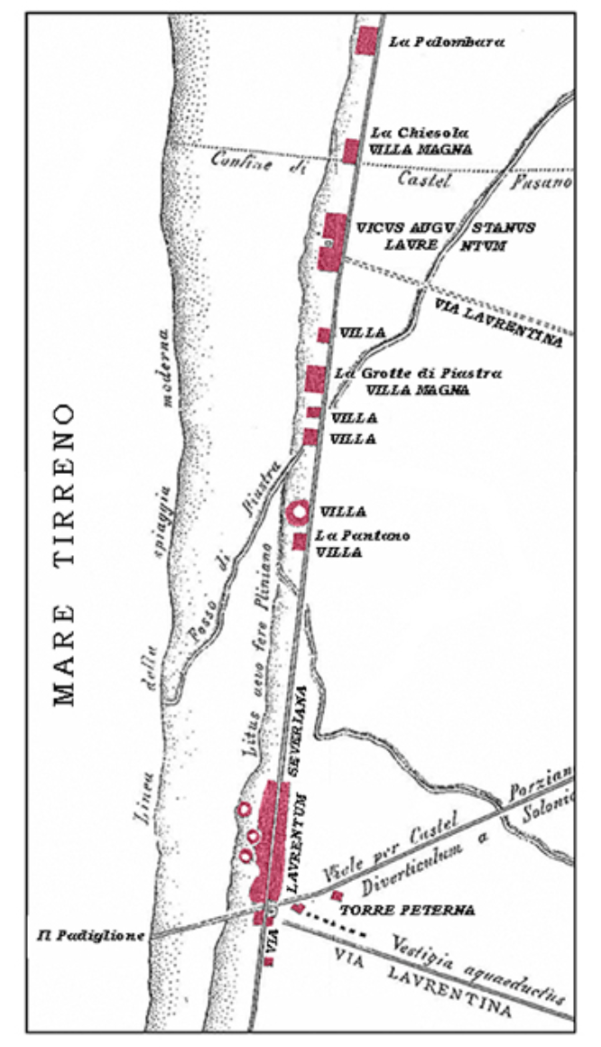
Image: Map of Roman villas between Ostia and Laurentum
Size of this preview: 344 × 599 pixels. Other resolutions: 138 × 240 pixels | 666 × 1,160 pixels.
Original image (666 × 1,160 pixels, file size: 263 KB, MIME type: image/png)
Description: Map of Roman villas between Ostia and Laurentum
Title: Map of Roman villas between Ostia and Laurentum
Credit: Carta degli insediamenti del litorale laurentino, 1903, cit. a nota 5, tav. XIII, fig. 3.
Author: Lanciani
Usage Terms: Public domain
License: Public domain
Attribution Required?: No
Image usage
The following page links to this image:

All content from Kiddle encyclopedia articles (including the article images and facts) can be freely used under Attribution-ShareAlike license, unless stated otherwise.