
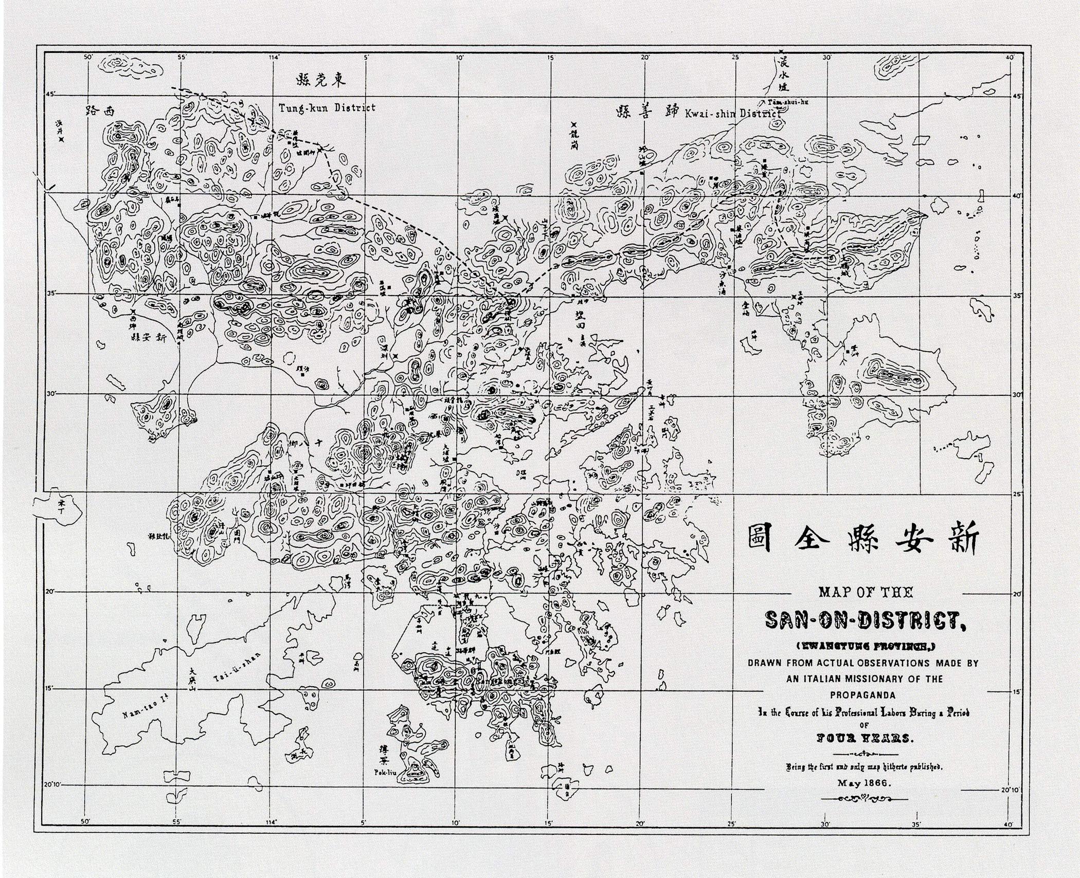
Image: Map of San On in Kwangtung 1866
Size of this preview: 737 × 599 pixels. Other resolutions: 295 × 240 pixels | 2,100 × 1,708 pixels.
Original image (2,100 × 1,708 pixels, file size: 901 KB, MIME type: image/jpeg)
Description: Map of San-On District (Bao'an County), now modern day Shenzhen and Hong Kong (in Kwangtung (Guangdong) Province, ), which created by Italian missionary Simeon Volonteri in 1866.
Title: Map of San On in Kwangtung 1866
Credit: From the internet.
Author: Simeone Volonteri Simeone Volonteri (Q64736432) (1831-1904)
Usage Terms: Public domain
License: Public domain
Attribution Required?: No
Image usage
The following image is a duplicate of this image (more details):
_in_1866.jpg)
There are no pages that link to this image.

All content from Kiddle encyclopedia articles (including the article images and facts) can be freely used under Attribution-ShareAlike license, unless stated otherwise.