
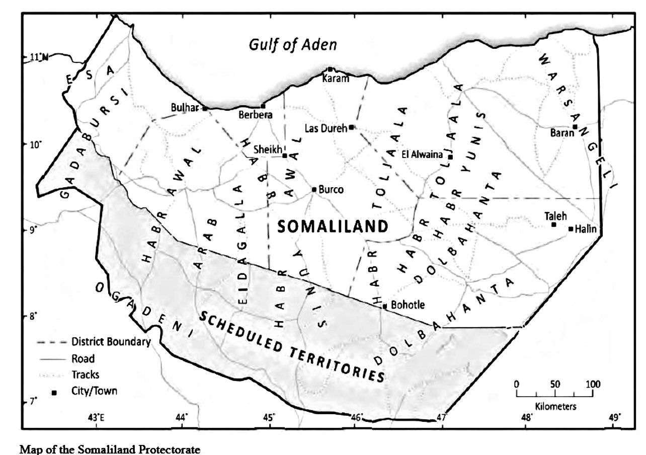
Image: Map of Somaliland Protectorate
Size of this preview: 800 × 563 pixels. Other resolutions: 320 × 225 pixels | 1,284 × 904 pixels.
Original image (1,284 × 904 pixels, file size: 145 KB, MIME type: image/jpeg)
Description: Map of Somaliland Protectorate
Title: Map of Somaliland Protectorate
Credit: https://twitter.com/Iamrisaq1/status/1419614114318540804/photo/1
Author: Abdirisaq Elmi
Usage Terms: Public domain
License: Public domain
Attribution Required?: No
Image usage
The following page links to this image:

All content from Kiddle encyclopedia articles (including the article images and facts) can be freely used under Attribution-ShareAlike license, unless stated otherwise.