
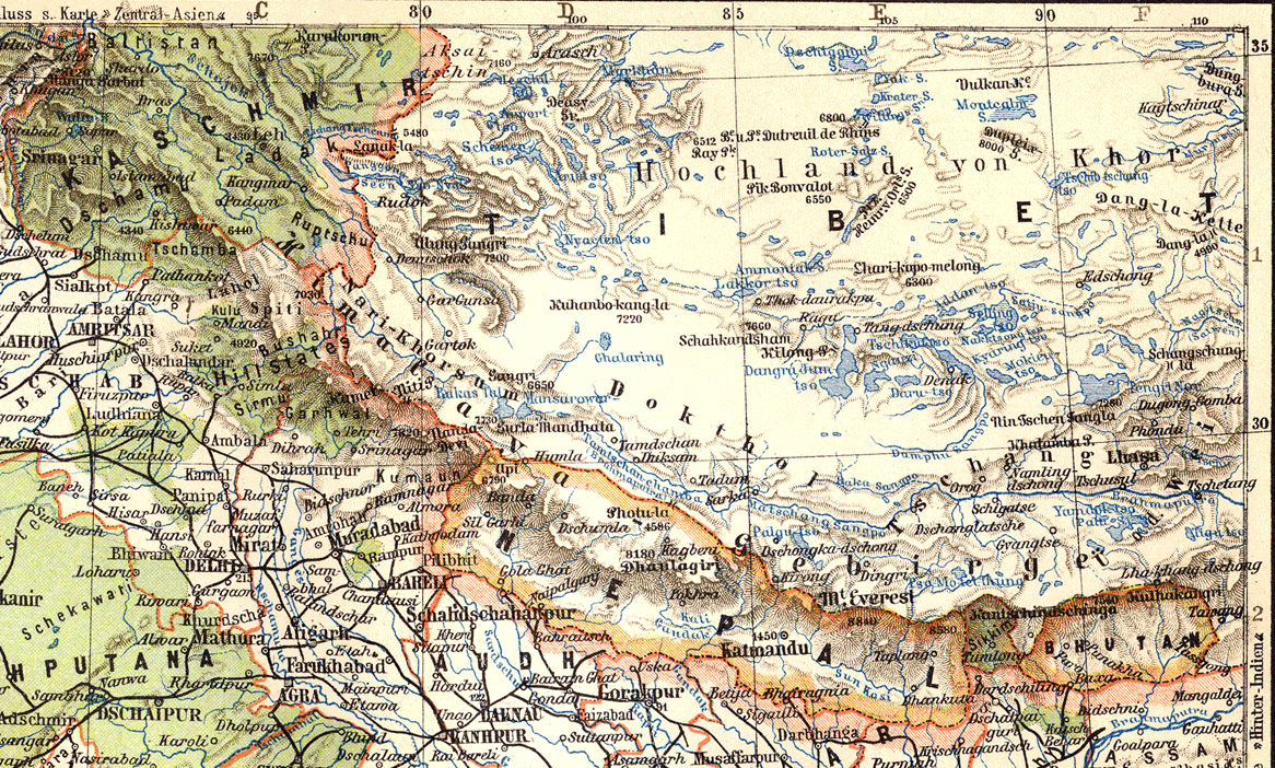
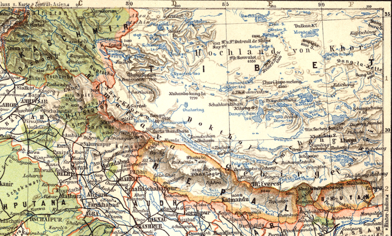
Image: Map of Tibet in 1905, from- 079 ostindien (1905) (cropped)
Size of this preview: 800 × 482 pixels. Other resolutions: 320 × 193 pixels | 1,166 × 702 pixels.
Original image (1,166 × 702 pixels, file size: 550 KB, MIME type: image/png)
Description: East Indies (1905)
Title: Map of Tibet in 1905, from- 079 ostindien (1905) (cropped)
Credit: Meyers Geographischer Hand-Atlas
Author: Herrmann Julius Meyer
Usage Terms: Public domain
License: Public domain
Attribution Required?: No
Image usage
The following page links to this image:

All content from Kiddle encyclopedia articles (including the article images and facts) can be freely used under Attribution-ShareAlike license, unless stated otherwise.
_(cropped).png)